
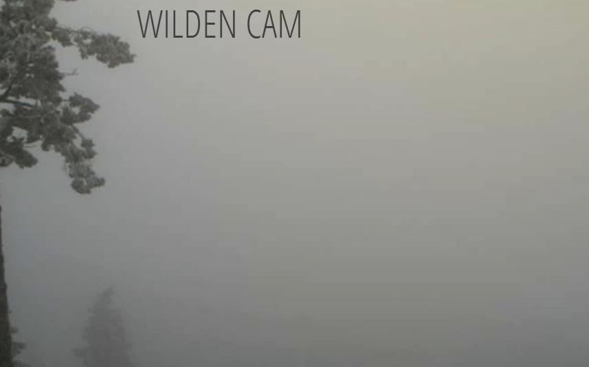
A very strong temperature inversion in place will keep the fog in the forecast for the valley bottoms today.

We still expect a weak disturbance to move across the BC Interior this weekend to help breakdown the inversion, however, it’s weakness will allow fog to once again develop when another upper ridge builds in in the wake of this upper trough.

Get daily National news
So although the chance is there for the fog to thin this weekend, it is likely that we will be back in this similar foggy, stagnant weather pattern by next week.
Remember if you can head up above 1200m… lots of sunshine at higher elevations :)
To give you an idea of the temperature profile, here is what the weather balloon read this morning at 4am out of the Kelowna airport:
Surface temp: -2
At 800m: -5
At 1550m: +1 Inversion is in place… Typically temps cool with height
At 2000m: +4 Warm air aloft – trapping moisture at the surface and no mixing of air


Today’s High: -3 to +1
Tonight’s Low: -6 to -2
~Wesla/Duane


Comments