






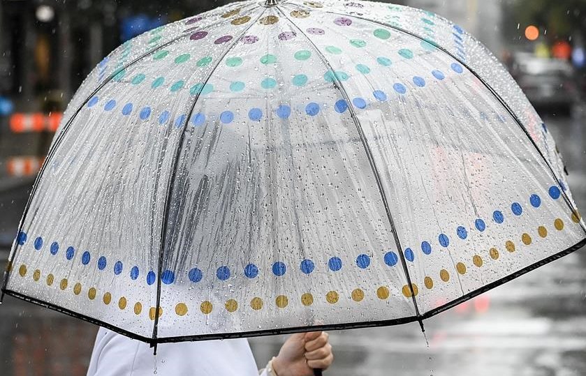
If you were caught out in a sudden storm on Sunday, you’re not alone.

Environment and Climate Change Canada says the storm, which seemingly came out of nowhere, hammered southern Manitoba, with Winnipeg being one of the hardest-hit as far as rainfall amounts.
“The Forks recorded 31.2 millimetres, while it was 25.7 millimetres at the airport. That is among the higher amounts for the province,” lead forecaster Brad Vrolijk told 680 CJOB’s The Start.
High winds, with gusts up to 80 km/h, hit the area west of the Red River Valley during the storm as well, and the gloomy weather is expected to continue on Tuesday.

Get breaking National news
“There’s a low-pressure system developing in Alberta today that’s going to quickly move eastward overnight,” he said Monday.


“We’ll probably see more showers and thunderstorms moving across southern Manitoba by Tuesday morning.
“That will move through pretty quick and we should see things clear out later in the day, but then we’re looking at unsettled and showery conditions for potentially a day or two after that.”



Comments
Want to discuss? Please read our Commenting Policy first.