
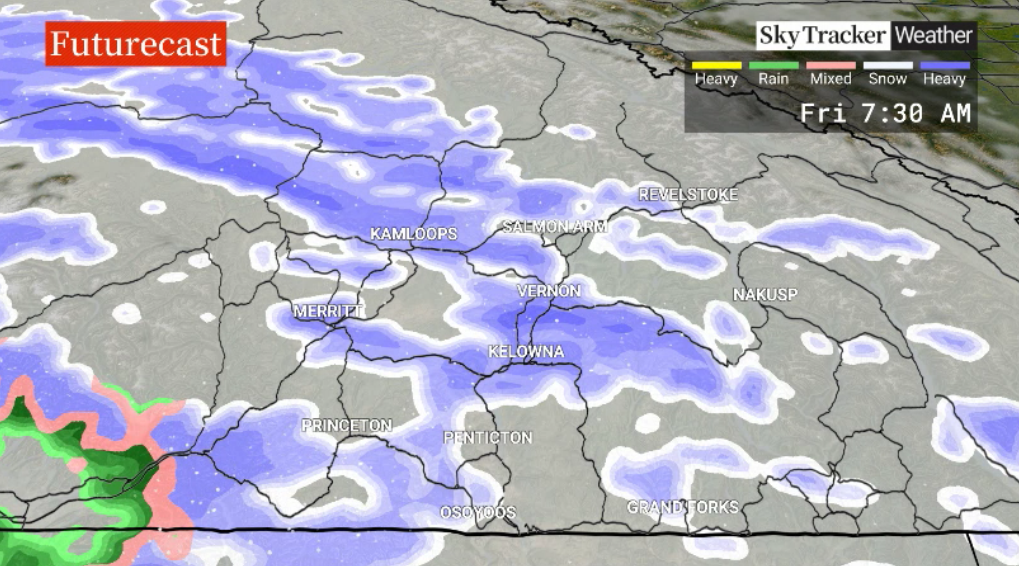
Along with pockets of accumulating snow, temperatures on Friday are expected to climb to around -6 C late in the day.

Anywhere between 3 and 10 centimetres of snow is possible by the end of the week.
A few lingering flurries or showers are expected to start the second last weekend of January, as the mercury may rise on Saturday to the freezing mark.

Get breaking National news
Get breaking Canada news delivered to your inbox as it happens so you won't miss a trending story.
By providing your email address, you have read and agree to Global News' Terms and Conditions and Privacy Policy.
The risk of some pockets of rain or snow returns on Sunday, as daytime highs climb a few degrees above zero.
For the workweek ahead, mid-single-digit highs return next week with a chance of precipitation at times.


For weather on the go download the Global News SkyTracker Weather App for iPhone, iPad or Android.
Comments
Want to discuss? Please read our Commenting Policy first.