


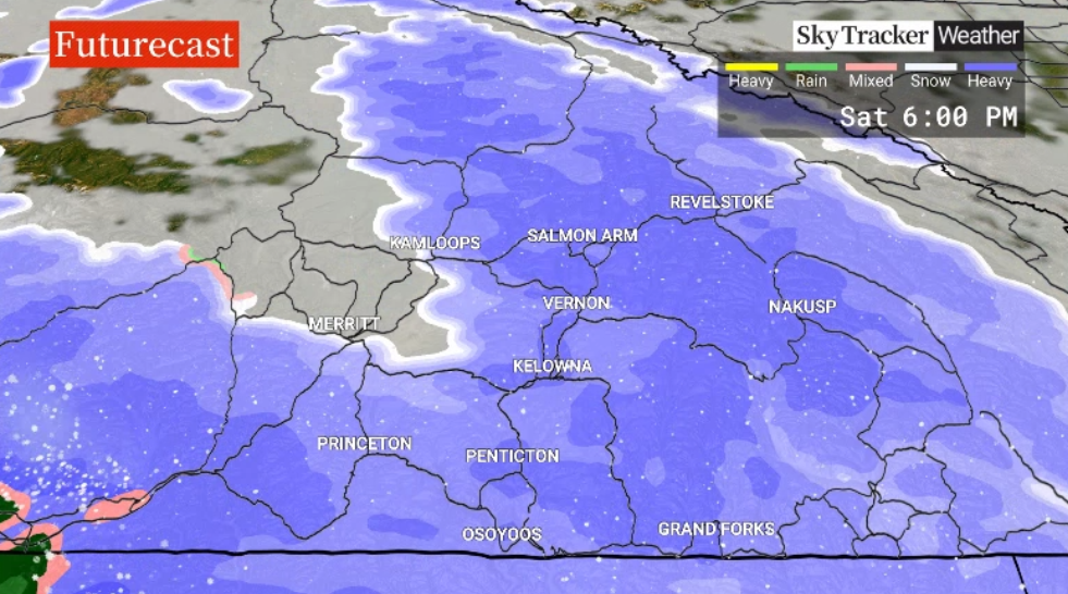
Mostly cloudy skies, with some sunny breaks, will dominate Thursday’s weather forecast as temperatures reach mid-single digits in the afternoon.

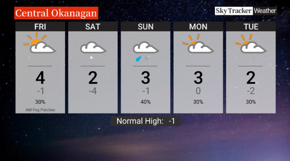
Pockets of flurries will slide in Thursday night and into early Friday, though some clearing will wrap up the workweek as the mercury hits mid-single digits late in the day.
The weekend will be mostly cloudy, with Saturday seeing a chance of snow later on after reaching a daytime high just above zero.

Sunday could see a few snowflakes or showers as well, with temperatures climbing up to around 3 C later in the day.


Next week, mostly-to-partly cloudy skies return to the region as daytime highs hover just above the freezing mark.
For weather on the go download the Global News SkyTracker Weather App for iPhone, iPad or Android.


Comments
Want to discuss? Please read our Commenting Policy first.