
After a wet finish to the weekend on Sunday, the risk of snow shifts to showers to start the first full work week of December on Monday.

Temperatures climb their way back up to mid-single digits in the afternoon before falling to around 2 C Monday night.
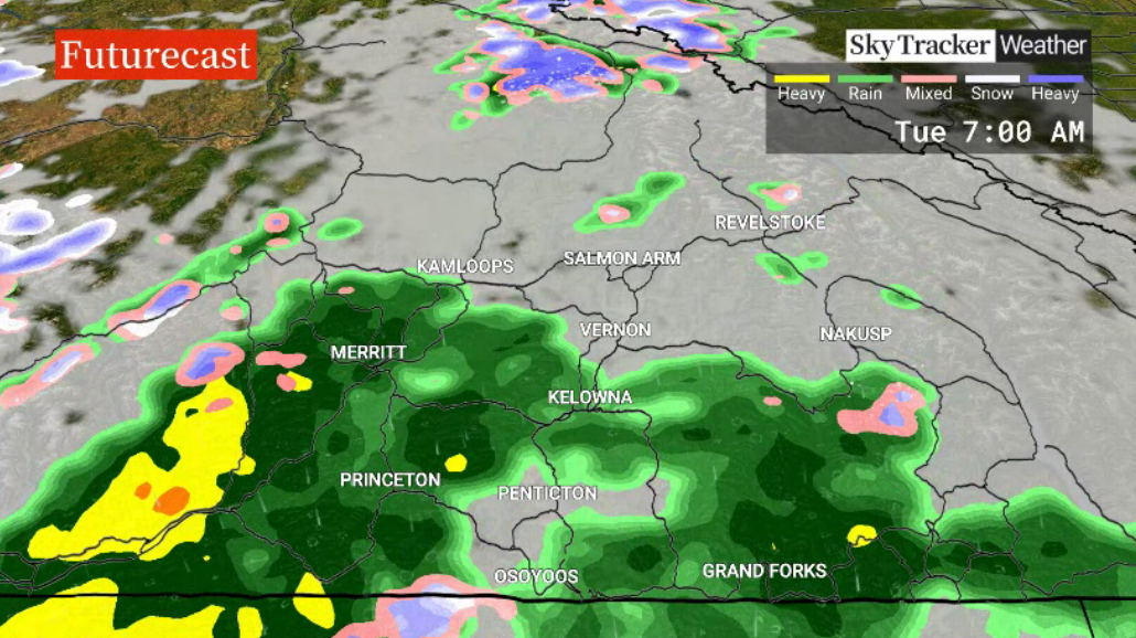
As freezing levels rise on Tuesday, rain is the precipitation type expected to start the day with the next frontal wave pushing through.
That risk eases to just a chance of showers on Wednesday with highs around 6 C.
The week will end on a cooler note on Thursday with the risk of rain and snow shifting to flurries on Friday as daytime highs dip a bit.
Mixed conditions with a chance of flurries are expected to continue into the second weekend of December with highs closer to the freezing mark.


For weather on the go download the Global News SkyTracker Weather App for iPhone, iPad or Android.
Comments