
Video: Marie-Eve Giguere from Environment Canada breaks down why eastern Ontario took the hardest hit

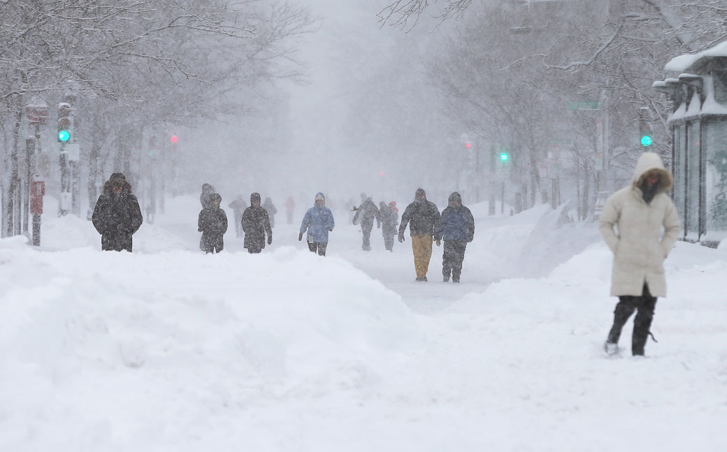
TORONTO – As Canadians, we know that winter means snow. But what causes the massive storm systems like the one that moved up along the eastern part of the United States and Canada on Tuesday?
The main ingredient for a storm system is moisture.
READ MORE: Winter blast hits eastern Ontario
In this case, the moisture came up from the Gulf of Mexico. As it tracked toward the northeast, it also gathered moisture from the Atlantic.
The other issue was two low-pressure systems — one over the Carolinas in the United States and one over eastern Ontario — converged to make the system more intense.
The other driving factor — literally — is the jet stream. The jet stream steers weather patterns over North America.
Jet streams are like flowing rivers of air in the atmosphere. They run from west to east and are typically about 11 km above the surface, forming a border between warm and cold air and pushing masses of air around.
READ MORE: Winter tires: Do you really need to buy the most expensive brand?
“It’s like a highway for weather systems,” Environment Canada warning preparedness meteorologist Marie-Eve Giguere told Global News.
The warm and moist system made the snow wet, making shovelling the heavy white stuff even harder.
Systems like this one are often referred to as nor’easters. Though the system moves northeast, that’s not where it gets its name. The name actually comes from the direction from which the winds are blowing.
Now that the system has blown through, cold Arctic air is coming in to take its place, dropping temperatures down around -2 C, about 6 C lower than the norm for this time of year.
The cold Arctic air also means gustier winds, bringing snow squalls to southern Ontario, which escaped the brunt of Tuesday’s storm.
To get real-time weather for your area, download the Skytracker weather app.
Comments