

UPDATE: All advisories mentioned in this story have ended

Tornadoes Confirmed in Saskatchewan
A tornado watch was issued east and southeast of Saskatoon, for the Humboldt, Wynyard, Yorkton, Kamsack and Moosomin areas on Friday, July 21, 2017.
In the statement, Environment Canada said that tornadoes were possible with any of these severe thunderstorms and that “this is a dangerous and potentially life-threatening situation.”
Environment Canada says as of Saturday, July 22, there have been 6 confirmed tornadoes, two north of Lanigan, one north of the BHP Jansen Mine, one near the town of Quill Lake, one near Fishing Lake and one between Wapella and Rocanville, with no damage reported.
WATCH BELOW: Farmer keeps spraying his field with tornado in the distance

Severe Thunderstorm Watch Ended
Environment Canada issued a severe thunderstorm watch for Saskatoon, Prince Albert, Regina and into east central and southeast Saskatchewan on Friday, July 21, 2017 for conditions favourable for the development of severe thunderstorms that could produce strong wind gusts, large hail and heavy rain.
A warm and cold front associated with an approaching area of low pressure triggered thunderstorms in portions of southern Saskatchewan, some of which became severe Friday afternoon and evening.
For the latest weather alerts download the Global News Skytracker weather app for iPhone, iPad or Android.
Thursday Night Storms
Storms rolled across central Saskatchewan Tuesday night with a tornado warning issued in the Davidson area after an eyewitness report of a twister near Loreburn.
Environment Canada confirms that a plow wind, or strong straight line wind associated with a thunderstorm, destroyed a curling rink in Strongfield and significant wind damage also occured in Outlook.

An Enviornment and Climate Change Canada team is currently conducting a damage survey in those regions and will provide information as it becomes available.
Golfball sized hail with a 45 millimetre diametre was reported in Milden and nickel sized hail with 21 millimetre diametre was reported in Herschel.
Winds gusted upwards of 93 km/h in Coronach, 85 km/h in Elbow and 81 km/h in Outlook.
Saskatoon Forecast
Friday


Light rain and thunderstorms rumbled through the region overnight with temperatures dipping back to 15 degrees.
Temperatured warmed up into the upper teens by noon under mostly cloudy skies.
Thunderstorms, showers and mostly cloudy skies dominated the rest of the day as we climbed up to a daytime high around 19 degrees.
Saturday
The system responsible for the stormy conditions will keep us in the clouds to start the weekend before skies start to clear late Saturday afternoon.
Temperatures should push up into the low-to-mid 20s for a daytime high late in the day.

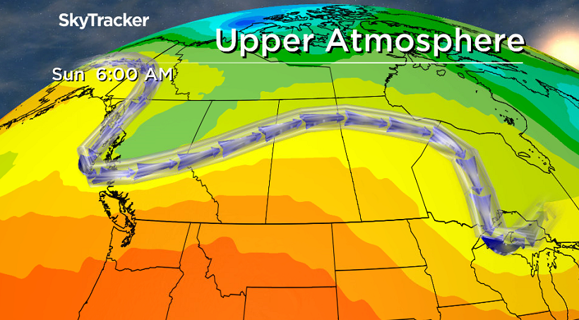
Sunday
An upper ridge will build back in the heat and some sunshine on Sunday before a trough swings through that may bring in some cloud cover later on.
There is a chance we may see some more smoke filter in as upper level winds switch to a westerly direction and we warm up to a daytime high in the upper 20s or low 30s.
Work Week Outlook
A cold front will sweep through on Monday, bringing in a good chance of rain and risk of thunderstorms as we cool back into the low 20s for a daytime high.
We do warm back up as we head through the week with an upper ridge rebuilding, bringing us back into some sunshine and afternoon highs in the upper 20s.

This Your Saskatchewan photo was taken by Annette Wylie in Wakaw.

Saskatoon weather outlook is your source for Saskatoon’s most accurate forecast and is your one stop shop for all things weather for central and northern Saskatchewan with comprehensive, in depth analysis that you can only find here.
- Train goes up in flames while rolling through London, Ont. Here’s what we know
- Wrong remains sent to ‘exhausted’ Canadian family after death on Cuba vacation
- Liberals having ‘very good’ budget talks with NDP, says Freeland
- Peel police chief met Sri Lankan officer a court says ‘participated’ in torture
Comments