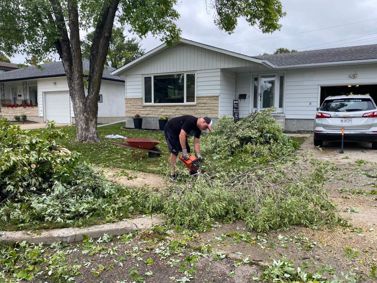
A short but powerful storm moved through Winnipeg Thursday evening, hammering areas like Transcona, North and East Kildonan, and Garden City with rain, strong winds and, in some cases, golf ball-sized hail.

The intense weather led to downed trees, broken windows and other debris, and as of Friday morning, there were still a number of smaller power outages, mostly in the northern part of the city.
Environment Canada meteorologist Brad Vrolijk told 680 CJOB’s The Start that the reason many Winnipeggers were left scratching their heads after hearing reports of wild weather is that the storm mostly affected residents in northeastern Winnipeg neighbourhoods.
“Probably 80 per cent of the city saw nothing from this storm, but if you were in the North Kildonan area eastward toward Transcona, it was probably one of the worst thunderstorms you’ve seen in a while,” Vrolijk said.
“In Winnipeg, obviously (the Kildonans) through Transcona got the worst of it with golf ball-sized hail and wind gusts up to around 90-95 km/h through that area. The rain wasn’t too bad, although when it was coming down it was almost impossible to see as it came down in sheets.”

Vrolijk said a cluster of thunderstorms developed west-northwest of the city around 6 p.m., and as they headed east, began getting more and more intense, with the peak of the activity happening as storm clouds rolled through north Winnipeg.

Get daily National news
Winnipeg, however, wasn’t the only part of southern Manitoba pummelled by the storm. The Selkirk area received around 110 millimetres of rain, and the Dugald region was hardest-hit by winds.
“The strongest wind gust last night was actually reported by a Manitoba Agriculture station in Dugald, just east of the city, where they reported a wind gust up to 133 km/h,” Vrolijk said.
“There was a public report of a funnel cloud in the Dugald region, so we’ll also be looking into whether there was the possibility of a tornado touch-down yesterday evening or not … but we can’t confirm at this point. We’ll be looking into it.”
Winnipeg businesses were also affected by the storm.
Larry Vickar told 680 CJOB’s Connecting Winnipeg that has auto dealership at Main Street and Templeton Avenue saw more than 200 vehicles damaged as a result of the hail.
“We had probably 150 new vehicles which were damaged — the hoods and the roofs mainly… and unfortunately about 80 customers’ vehicles that were in our repair area at the same time,” Vickar said.
“It’s going to be quite an ordeal to go through these and individually repair them or do otherwise.”
Vickar said it’s been around a quarter-century since the last time one of his dealerships was hit so heavily by inclement weather, and while he has insurance to cover incidents like this, it’ll take a while to recover.
“We’ll get through this,” he said, “but it’s going to be a terrible inconvenience for all concerned in the interim.”


Comments
Want to discuss? Please read our Commenting Policy first.