


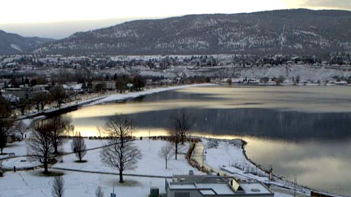
Okanagan residents woke up to a winter wonderland on Saturday morning, with fresh snow blanketing the region.

On Friday, meteorologists projected overnight snowfall, noting four to seven centimetres, and they were spot on with their predictions.
And now more snow could be on the way, with Environment Canada forecasting a 60 per cent chance of overnight flurries, along with temperatures falling to -7 C before skies clear.

Sunday is expected to be a mainly sunny day, along with a high of 0 C, though the national weather agency is forecasting a 60 per cent chance of flurries overnight, along with a low of -6 C.
Monday will be a mixed bag of sun, cloud and a 60 per cent chance of flurries, plus a high of -1 C and a low of -8 C.
- Storm to bring up to 60 millimetres of rain to parts of Ontario, Quebec
- A ferocious Hurricane Simon nears Mexico with 155 mph winds and flooding fears
- Simon strengthens into a Category 4 hurricane as it approaches Mexico’s coast
- Isaias weakens but flash flooding threat persist as hundred of thousands grapple with power outages


For the South Okanagan, temperatures will be slightly warmer.

Get daily National news
Saturday will see a low of -1 C and a 30 per cent chance of overnight flurries, with Sunday being mainly sunny, along with a high of 2 C, a low of -6 C and a 60 per cent chance of overnight flurries.
Monday will see a high of -1 C under a mix of sun and cloud and a 60 per cent chance of flurries, with the low falling to -8 C.



Comments
Want to discuss? Please read our Commenting Policy first.