

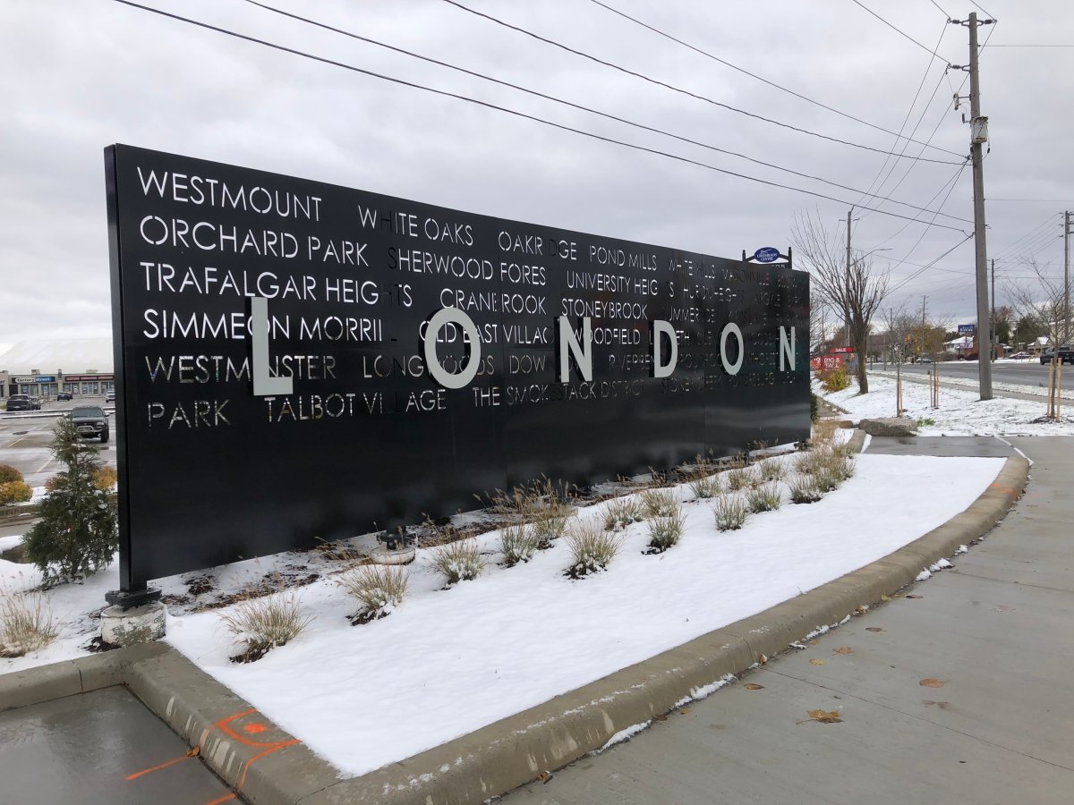
Following a wintry blast overnight, it won’t be long before Monday’s snow is gone in London, Ont.

The snow-covered morning was the result of a Sunday evening forecast that warned of 10 to 15 cm in 12 hours.
London was then left with 3 cm of snow recorded at the city’s airport, according to Environment Canada, coupled with wind gusts up to 68 km/h.
Monday’s high of 4 C was also much lower than the average for Nov. 2, which usually peaks around 10 C.
“This is really typical of the fall season,” said Gerald Cheng, a meteorologist with Environment Canada.

Get breaking National news
“This is where the cold air mass from the north and the warm air mass from the south battle it out over southwestern Ontario … and that’s why we see big fluctuations of temperatures and that’s why we’re seeing such a big warmup coming in the latter part of this week.”


The big warmup is set to start Tuedsay and grow even warmer as Sunday approaches, with most days seeing sunny skies and highs in the mid-teens.
Cheng expects the warm weather to last until the early part of next week as a big plunge in temperatures gets set to follow.
“There will be a cold front that will bring us back to normality,” Cheng said.
“Don’t get used to these temperatures too, too much.”

Comments