
A form of photo radar is coming to select locations in Hamilton.

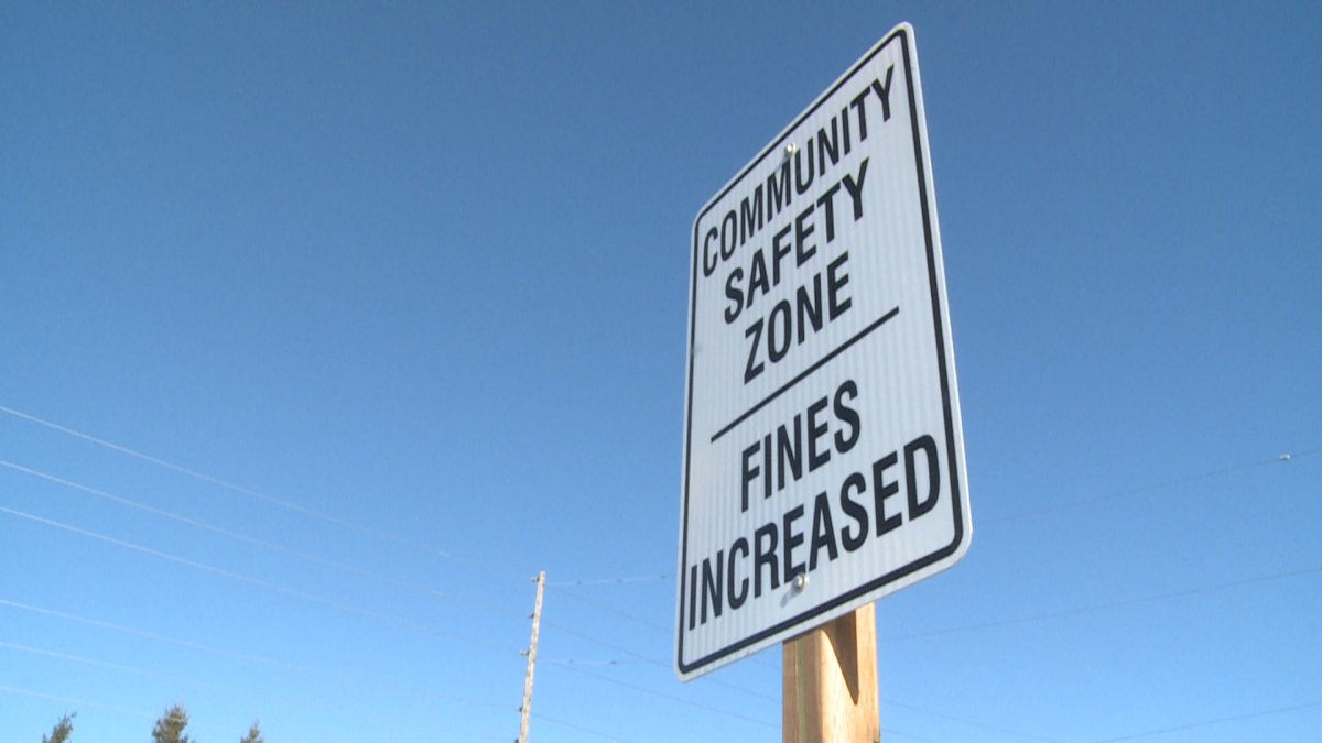
The city’s public works committee has approved a one-year pilot project during which two “automated speed enforcement units” will be rotated between 12 community safety zones.
The camera locations will be scattered throughout the city from Main Street in Waterdown to Lewis Road in Stoney Creek.
Edward Soldo, Hamilton’s director of transportation operations, says the 12 areas were chosen based on a range of factors, including traffic volumes, traffic speeds and collision history.
Soldo adds that fines will be doubled for those caught speeding within the community safety zones.
He will report back to the committee after the conclusion of the year-long pilot program to determine if the project is viable and “how we potentially move forward.”

Get breaking National news
Soldo says the project will be funded from Hamilton’s red light camera reserve fund.
Ward 6 Coun. Tom Jackson says the move is “so welcome,” citing an increase in speeding and reckless driving during the COVID-19 pandemic, but Ancaster Coun. Lloyd Ferguson warns colleagues there will be “political consequences” for installing photo radar.
- Michael Kovrig reflects on ‘brutally hard’ Chinese detention: ‘You’re totally alone’
- TD Bank moves to seize home of Russian-Canadian jailed for smuggling tech to Kremlin
- U.S. moves to ban Chinese software, hardware from all vehicles in America
- Conservatives set to table non-confidence motion Tuesday. What to expect


Ferguson worries that residents will see it as a cash grab.
Other councillors have voiced disappointment that traditional trouble spots were not included in the review of 75 locations that were considered for the program.
“My residents are going to be quite surprised to not see stretches of King Street and stretches of Main Street on this list,” Ward 3 Coun. Nrinder Nann says.


Ward 5 Coun. Chad Collins is also hoping for a more widespread review of potential camera locations if the program is expanded in the future.
Collins says he “wouldn’t be doing my job properly” if he didn’t appeal for locations like Beach Boulevard, Nash Road, Quigley Road, Lake Avenue and others.
In December, the province released its regulations allowing municipalities to use photo radars for school and community safe zones where the speed limit is under 80 kilometres per hour.
The 12 areas chosen for the “automated speed enforcement” program are:
- Stone Church Road East from Dartnall Road to Pritchard Road
- Broker Drive from Brentwood Drive to Kingslea Drive
- Glancaster Road from Rymal Road to Twenty Road
- Trinity Church Road from Guyatt Road to Dickenson Road
- Second Street North from Charles Street to King Street West
- Greenhill Avenue from Quigley Road to Mount Albion Road
- Lawrence Road from Gage Avenue South to Ottawa Street South
- Lawrence Road from Cochrane Road to Mount Albion Road
- Harvest Road in Dundas from Tews Lane to Forest Avenue
- Bellagio Drive from Fletcher Road to Keystone Crescent
- Lewis Road from Barton Street East to Highway 8
- Main Street in Waterdown from Parkside Road to John Street
Comments