


The London region broke a low-temperature record for the second day in a row Wednesday as the temperature fell overnight to a low of -3.7 C, according to Environment Canada.

The temperature shattered the previous record low of -1.7 C, recorded more than 70 years ago at London’s airport in 1946.
Ahead of the frigid overnight weather, Environment Canada issued frost advisories spanning much of southern Ontario. The advisories were lifted around 8:30 a.m.
It’s the second day to see low-temperature records broken in London and across the province due to what Environment Canada has called an “exceptionally cold air mass for this time of year.”
London’s airport recorded a low of -2.3 C Tuesday morning, breaking the more than 50-year-old -0.6 C record for May 12 set in 1967.
“In all the years that I’ve been studying meteorology, I have never seen such widespread cold weather records,” Anthony Farnell, chief meteorologist for Global News, said on Tuesday.
What’s causing this chilly May weather? According to Farnell, it dates back to the wintertime when things were mild for much of the province.

Get daily National news
“All of that arctic air was bundled up over the North Pole — that’s where the polar vortex was — and it was very stable. It hadn’t moved much for a couple of months,” he said.

“So very cool conditions up there. And with that bottled up, it allowed milder air from the Pacific to invade much of North America.
“But what’s happened in the last month and a half is that polar vortex has broken down and pieces of it have come down. One of them happened to move into the Great Lakes over the course of the last week.”


He notes that while this chilly spell may prove disappointing for those who have been patiently awaiting more spring-like conditions — we’ve seen seven days in a row of below-freezing overnight temperatures — it won’t stay that way for long.
London is expected to see preliminary highs of 13 C on Wednesday, 16 C on Thursday, and 20 C on Friday and through the weekend.
That, however, is just a precursor for even warmer temperatures to come.
“By the middle of next week, we are talking hot conditions,” Farnell said. “Upper 20s possible for highs. Sunshine. Even, dare I say, a humidex.”
“People are just gonna be confused because spring jackets will be replaced with shorts and T-shirts,” he said of the rapid temperature turnaround.
“It’s just going to be wild over the next week or two.”
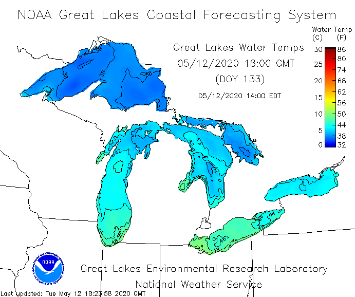
As the warm temperatures in the west make their way toward Ontario, Farnell says it’s important to factor in the Great Lakes, which are still chilly from the winter.
“Any time you get the lake breezes and stuff like that, we have to look for thunderstorms,” he said. “Also we have the watch for potential… some of these colder back door fronts, that we call them, coming in from Quebec.’
“But overall, I think we’re done with the frost after (Tuesday night).”


Comments