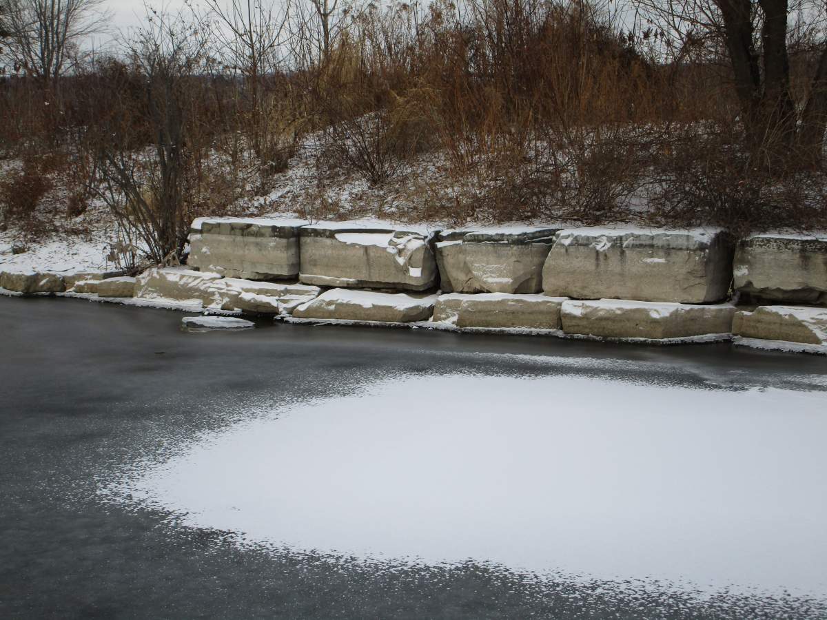
A storm that brought heavy rain across eastern Canada and the United States created higher than normal waves along the Lake Ontario shoreline in the Halton region, according to Conservation Halton.

On Sunday morning the agency issued a flood warning for the region saying the 40 to 60 mm of rain that fell since Saturday had increased water levels near watersheds.
“An additional 5 to 10 mm of rain and freezing rain is forecast prior to ending later Sunday morning. Winds are also expected to increase as the storm system moves out of our area later Sunday morning which may result in elevated storm surge and high waves along the Lake Ontario shoreline,” the authority said in a statement.
The conservation authority also said flooding overtop of some roadways was observed at several locations near upper portions of the East branch of Sixteen Mile Creek.

Get breaking National news
The agency also says flooding has also been seen in other low-lying areas and natural floodplains within Halton region.
“All watercourses and shoreline areas should be considered dangerous during this time.”
“Municipalities, emergency services and individual landowners in flood-prone areas should be on alert. Regular inspection and removal of debris at culverts and drainage inlets is recommended.”
READ MORE: Hamilton Conservation Authority issues flood watch as Environment Canada calls for heavy rain
Meanwhile, the authority is advising all residents to stay away from watercourses, shorelines and structures such as bridges, culverts, dams and break walls as they should be considered “dangerous” areas at this time.

Before the weekend storm, Hamilton Conservation Authority (HCA) issued a flood watch for the city which remained in effect on Sunday morning.
The HCA said there is “potential for significant watercourse flooding,” claiming the majority of snow along the waterways is “likely to melt” Friday and Saturday.
The watch is in effect until Tuesday.


Comments
Want to discuss? Please read our Commenting Policy first.