

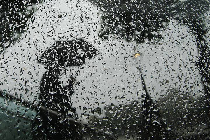
A flood watch has been issued by the Upper Thames River Conservation Authority (UTRCA) with forecast rain showers set to continue through Thursday evening and into Friday morning.

It comes on top of an Environment Canada special weather statement that has been in place for much of the day for London and the surrounding area. Meteorologists with the national weather service said residents should be prepared for up to 20 millimetres of rain by Friday morning along with melting snow.
In its flood watch, the UTRCA said that while no serious flooding was anticipated, it expected most areas would see full bank conditions, and water out of banks in areas that typically see flooding in the spring — including Harris and Gibbons parks.
“Peak flows are expected to occur starting Friday afternoon and continuing into Saturday in downstream areas,” read an UTRCA statement. “Water levels will remain elevated over the weekend.”
The combination of rainfall and melting snow may result in pooling of water on roads and in low-lying areas. Rain is expected to be patchy and light Thursday, becoming more widespread during the overnight hours into Friday.
Steve Sauder, UTRCA’s communications manager, said residents should stay away from area waterways.
- Michael Kovrig reflects on ‘brutally hard’ Chinese detention: ‘You’re totally alone’
- TD Bank moves to seize home of Russian-Canadian jailed for smuggling tech to Kremlin
- U.S. moves to ban Chinese software, hardware from all vehicles in America
- Conservatives set to table non-confidence motion Tuesday. What to expect


“Many parks are also floodplain areas and those are the areas people usually go to walk, so we just want people to stay out of those areas because that’s really where we see the water levels rise during these flooding events,” he said.

Get daily National news
“This also includes creeks, ponds, anywhere where the ice is shifting; it’s a very changed environment from what it was a couple days ago.”
Sauder said that although there is a significant amount of snow in the area, he didn’t expect it to cause any major flooding, but he noted that could change.
“Right now we’re not expecting it to be an issue over the next couple days, but we are still watching very closely because if the temperatures go higher or we get more precipitation than they’re predicting, then that could change the story.”
Residents concerned about potential flooding in their homes still have time to take preventative measures, like clearing ice and snow from eavestroughs, said Chris Craigan, general manager of Winmar London.
“Ice buildup can cause water to pool and leak into the home through nail holes or seams in plywood and roof decking,” he said. “Then it runs down, generally, the exterior walls, sometimes into your ceilings, sometimes all the way into your basement and across your floors.”


Craigan said residents should also make sure their sump pumps are still in working order, and that the pump’s discharge pipe isn’t blocked by ice or snow.
In addition to rain, Environment Canada’s advisory said icy conditions were also possible Friday as a passing cold front dips the temperature lower, turning the rain into snow.
Though we may only receive a few centimetres of the white stuff at most, forecasters said the real concern was the period of freezing rain that could occur during the changeover.
“Surfaces such as highways, roads, walkways and parking lots could become icy and slippery,” said the advisory.
The milder temperatures we’ve been experiencing will be short-lived.
Environment Canada is calling for the high to dip down to -11 Celsius on Saturday and -12 Celsius on Sunday. Heavy snow is possible overnight Friday into Saturday.
Highs are expected to stay near -8 Celsius for the first half of the week.
The conservation authority says reservoirs at Fanshawe, Wildwood and Pittock conservation areas are at seasonal levels and the agency will continue to monitor them.
Comments