VANCOUVER – Flood watches have been issued for rivers and creeks in B.C.’s west and east Kootenay region and smaller waterways in the upper and lower Columbia regions.

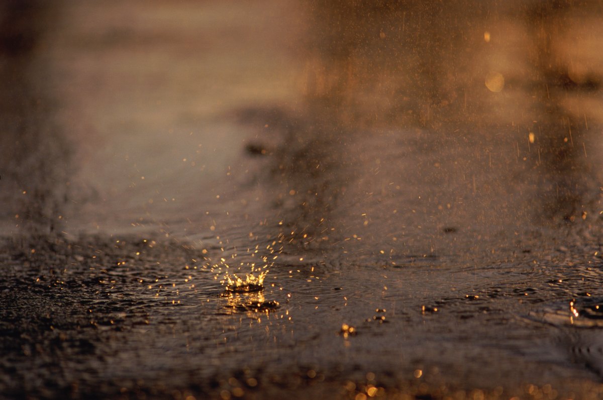
The BC River Forecast Centre issued the update as torrential rain continued to drench the entire lower third of the province Thursday, from 100 Mile south to the United States border and from the Fraser Valley east to the Alberta boundary.
According to the centre, as much as 130 millimetres of rain has fallen over the last 48 hours in the Columbia and Kootenay, with 20 to 70 millimetres recorded in the Boundary, Okanagan and Thompson regions.
Rainfall warnings remain posted over the entire area, although Environment Canada predicted conditions would ease Thursday, except in southeastern B.C.
The storm is blamed for multiple washouts that have cut Highway 1 in Alberta, forcing closure of the route east of Golden, B.C., with no estimated time of reopening.


A washout has also severed Highway 31A between New Denver and Kaslo in the Kootenays, but crews hoped to clear two separate mudslides on Highway 31 north of Kaslo later Thursday.
Six kilometres east of Sparwood, a washout on Highway 3 has reduced the road to single-lane alternating traffic, but ongoing rain may close the highway until conditions improve.
Highway 93 east of Radium to Castle Junction has also been shut down due to heavy rain and debris, and no detour is available.
High water levels have also closed the Lytton ferry in both directions.
Comments