
The water levels in both Kalamalka Lake and Okanagan Lake have dropped slightly since Wednesday but officials are warning property owners to brace for wind and waves on Thursday.

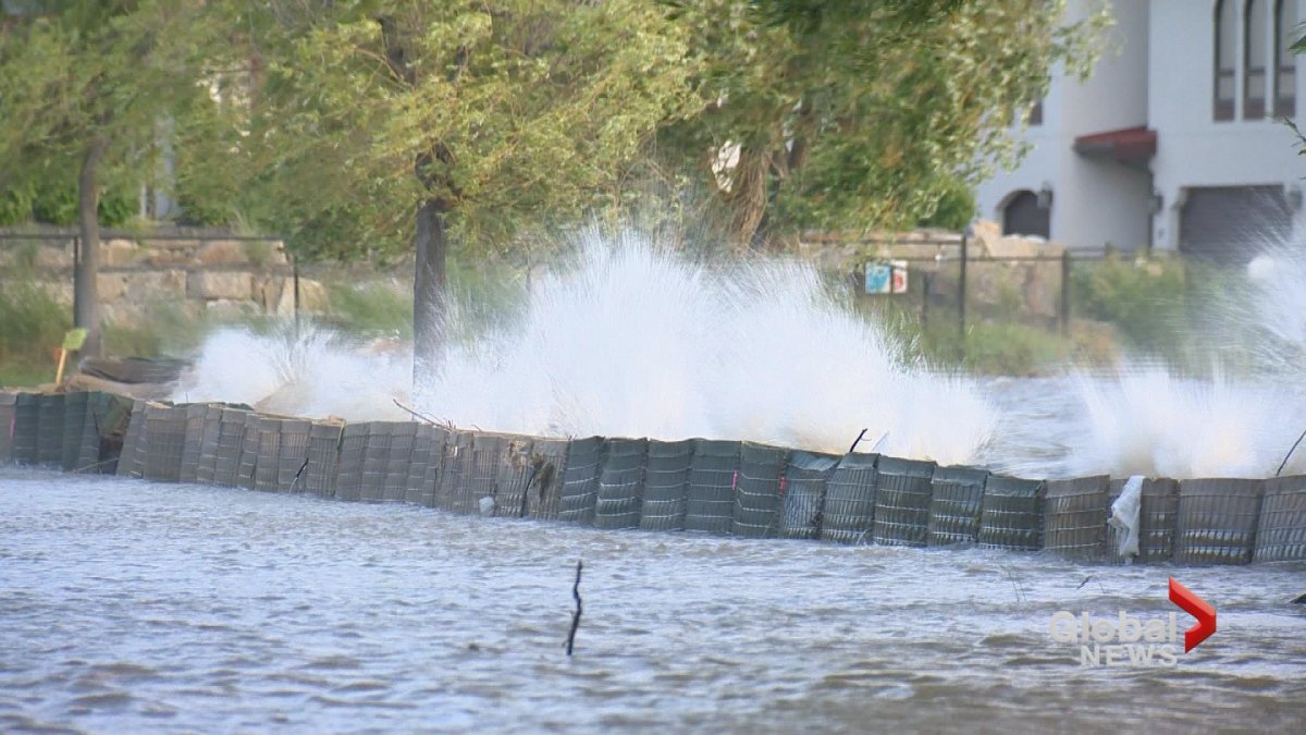
Central Okanagan Emergency Operations said Thursday that the windy forecast could put pressure on flood protection infrastructure.
Environment Canada issued a special weather statement Thursday morning for the Okanagan.
“Sustained winds of 30 to 40 km/h with gusts up to 60 are expected this afternoon and evening,” said Environment Canada in its special weather statement for the region.
“With high water levels in the Okanagan, these winds will generate waves that could lead to shoreline flooding and erosion. The risk is highest along the shores exposed to the south.”


The silver lining is that Environment Canada doesn’t believe there will be much precipitation during the windy weather.
Central Okanagan emergency officials have released a map showing the areas of their region most likely to be hit by the expected southerly winds and waves.
Okanagan Lake dropped five millimetres between Wednesday and Thursday.
- ‘Beast Mode’: Former Canuck Ryan Kesler back in Vancouver for Game 2 vs. Nashville
- Woman shares carjack nightmare: ‘I can’t believe this is happening in Victoria’
- No Demko but plenty of spirit as fans prepare for Game 2 of Canucks playoff run
- Caught on video: B.C. firefighter survives hit-and-run outside his own home
Comments