
UPDATE: The snowfall warning for Metro Vancouver has now ended.

Earlier today, Environment Canada said there would be further accumulations of five to 15 centimeters of snow in Metro Vancouver, East Vancouver Island and the Western Fraser Valley today.
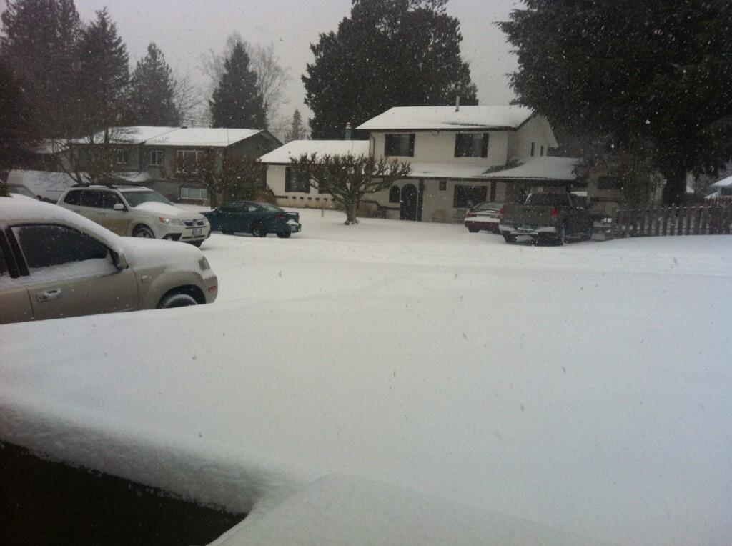
It could be another snowy weekend on the Lower Mainland, as Environment Canada is warning more precipitation is on the way.
A low pressure system is developing off Vancouver Island and will spread increasing amounts of moisture across the South Coast.
The Lower Mainland is expected to receive between five and 10 centimeters of snow Saturday night.
The precipitation is expected to intensify on Sunday, but will change to rain later in the day.
Murray Wightman, operations manager for the City of Vancouver, told Global News, “We have trucks and crews ready pre-treating roads and will be dealing with the snow overnight and into Sunday.”
The city will also be providing updates on Twitter and directing people to vancouver.ca/snow for tips.
Further accumulations of five to 15 centimetres are expected with the greater amounts occurring inland and at higher elevations of Metro Vancouver, in addition to the risk of freezing rain late in the day over inland sections of the Fraser Valley.
Arctic air is being pushed out to the coast and is causing very strong northeasterly winds of 90 km/h through the mainland inlets of the central and north coasts.


Northerly outflow winds of 70 km/h will also occur this morning over southern sections of Howe Sound.
Colder temperatures and strong winds will make for wind chill values of below 20 today and Sunday for inland sections.
Comments