
TORONTO – Toronto residents are getting a break today from the deep freeze that has gripped the GTA for part of the week, but the reprieve will be short as more snow is on the way.

Environment Canada has issued a special weather statement warning of heavy snow and frigid temperatures on Monday, just in time for a return to school after Christmas break.
The low pressure system is making its way north from Oklahoma. As it makes its way northeastward, it is expected to intensify, crossing into southern Ontario Sunday night.
READ MORE: Get ready for another snowy weekend
Snow will become heavy over southern Ontario Sunday afternoon and move into remaining regions Sunday evening. Though the snow will taper off overnight in southern Ontario, it will continue over eastern Ontario and may change to freezing rain.
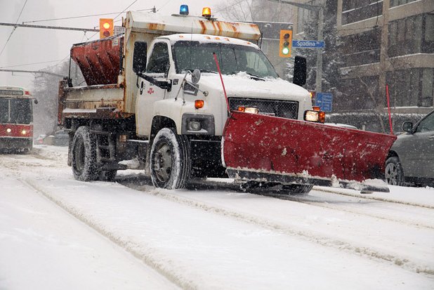
Snowfall amounts of 15 to 20 cm are expected with this storm.
Though temperatures are expected to rise to -2 C, it won’t stick around: after the storm moves through, temperatures will once again drop as a cold northwest wind blows into the area. Following the snowfall, it’s likely that the winds will cause adverse driving conditions with blowing snow reducing visibility.


Snow squalls are also possible due to blowing winds off of Lake Huron and Georgian Bay.
BELOW: The full Skytracker weather forecast for Toronto and the GTA for January 3rd, 2014
For more info on Toronto weather, visit our Skytracker page.
Comments