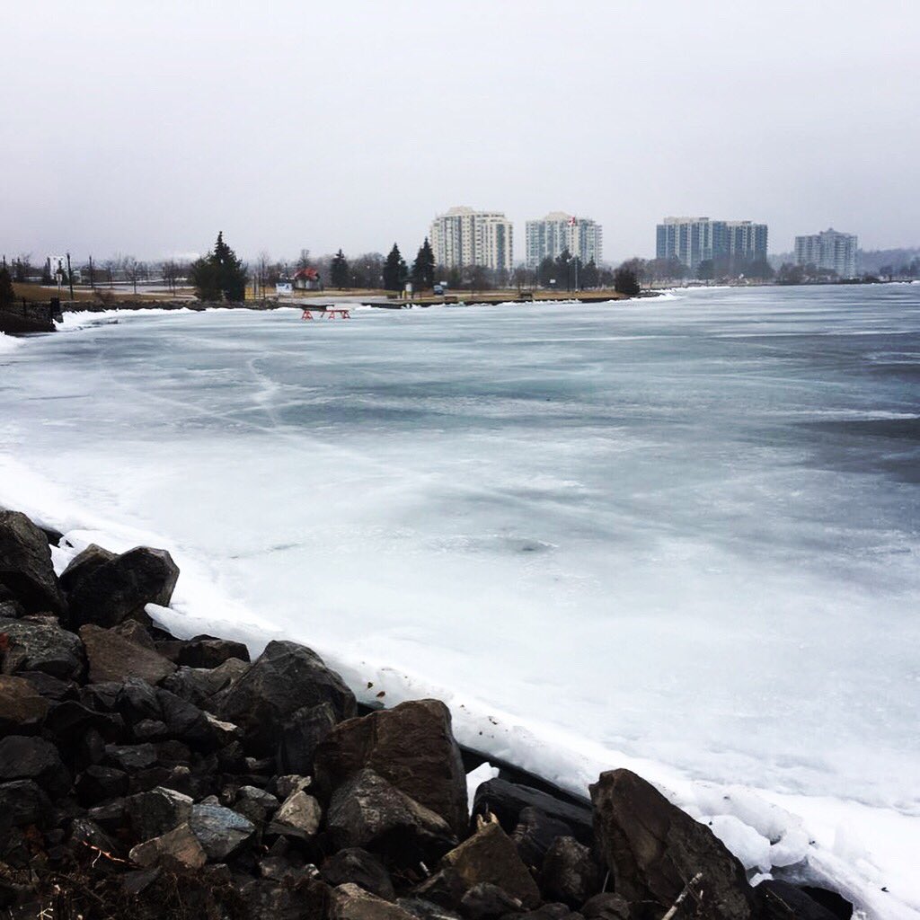
The Lake Simcoe Region Conservation Authority is warning that the warmer weather and expected rainfall Thursday could lead to some flooding.

Thursday’s weather system is expected to bring temperatures well above seasonal values, with daytime highs climbing above 6 C. In addition, rainfall amounts of around 15 to 20 millimetres are expected.
“As the temperatures warm up, that snowpack will start to melt and depending on how warm it gets, maybe all of it now or a good portion of it now. When we get rainfall on top of that melting snow, there’s the potential that we expect to see increased flows in our creeks and rivers around the watershed,” said Kenneth Cheney, director of engineering at the Lake Simcoe Region Conservation Authority.

Get daily National news
“We’re not expecting widespread flooding at this point, but there’s always a potential when we get rainfall for some flooding in low-lying areas.”
The conservation authority said that due to the duration of the expected thaw, a significant reduction of this snowpack will occur, and the rainfall breaking ice in storm drainage systems will increase the potential for blockage and ice jams, especially in the vicinity of culverts and bridges.
Also, warmer-than-normal temperatures will reduce or eliminate ice cover in creeks and rivers, resulting in dangerous ice conditions.
Cheney is warning residents to avoid areas around water and to stay off the ice.
“In general, the areas we want people to be cautious about are around rivers, streams, watercourses, bridges, culverts, and riverbanks. As the snow melts and the rain falls, and we get those rivers slippery, we don’t want to see anybody falling into any rivers or watercourses.”
This watershed conditions statement will be in effect through Saturday.


Comments
Want to discuss? Please read our Commenting Policy first.