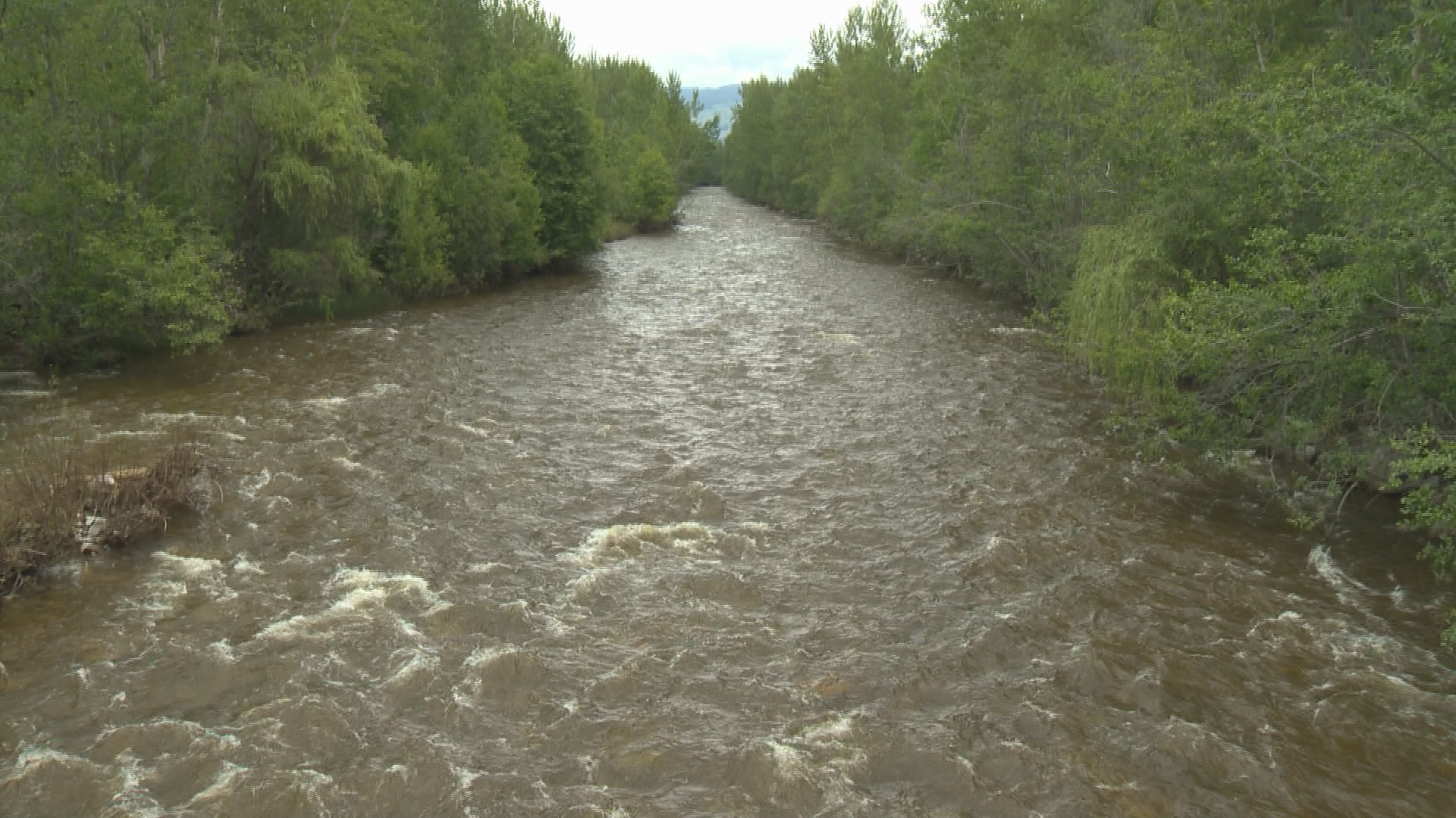
Kelowna’s Mission Creek is now on flood watch following a sustained period of heavy rain, according to the River Forecast Centre.

A Water Survey of Canada gauge measured a “rapid increase overnight” with flows on the creek near East Kelowna measuring 56 cubic metres per second. The B.C. River Forecast Centre said that additional rises of up to 80 to 100 cubic metres are possible Monday into Tuesday, depending on additional rainfall amounts.
When the creek spilled its banks late last month, flows reached a peak of 115 cubic metres per second.
It’s been a soggy start to July, with five to 35 mm of rain falling throughout the Southern Interior since Sunday.

“On Monday, an upper low is expected to track across south-west B.C., bringing wrap-around precipitation with the potential for heavier rainfall and thundershowers to areas in the South Interior and Kootenays,” the forecast centre said.
While Mission Creek is the only river on a flood watch, other waterways may also see a rise in flow depending on how much rain falls.
“Given the uncertainty in the exact locations and intensity of rainfall, it is possible that small and medium-sized watersheds throughout the region may experience high flows on Monday and Tuesday,” the forecast centre said.
As is, however, the River Forecast Centre is maintaining a High Streamflow Advisory for the Similkameen River and tributaries, the Boundary area including tributaries in the Kettle and Granby rivers, West Kootenay including the Slocan River, Duhamel Creek and tributaries around the region and East Kootenay including the Kootenay River and tributaries through the region. Okanagan streams, other than Mission Creek, are also only on an advisory.

The public is advised to stay clear of the fast-flowing rivers and potentially unstable riverbanks during the high-streamflow period.


Comments