Enderby has activated its emergency operations centre as floodwaters started to inundate the small city.

Noting that Tuey Park is submerged and closed to the public, the operations centre said Tuesday that it is monitoring flood conditions and is encouraging residents who may live in flood-prone areas to take measures to protect their property.
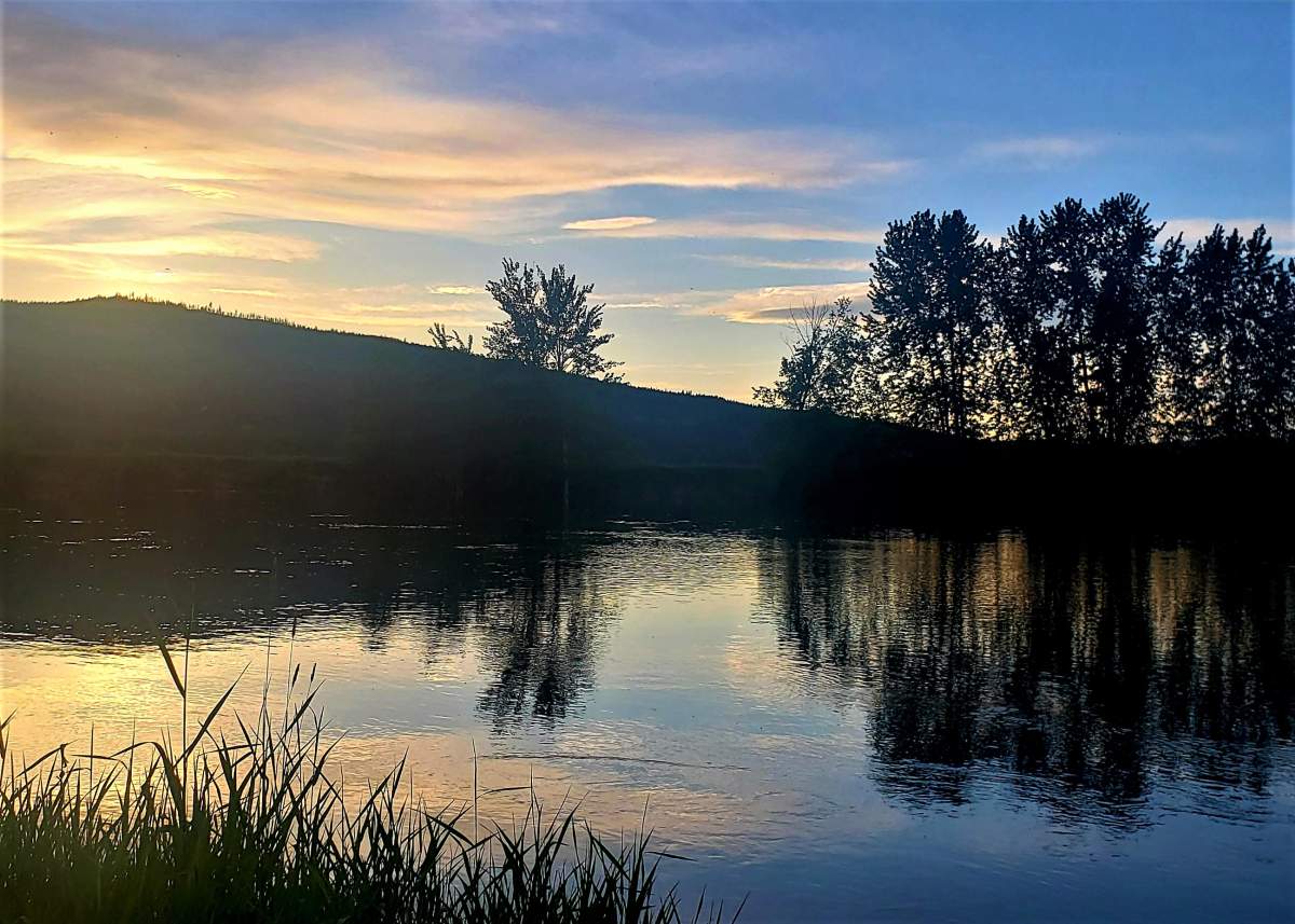
Water is rising in creeks and streams across the Central and North Okanagan due to a combination of snowmelt and rain.
According to Environment Canada, 20 to 40 millimetres were forecast to fall by Tuesday.
The City of Enderby added that the Kildonan boat launch is submerged and is also closed.
On Monday, the Shuswap River water height was 4.35 metres, with a discharge rate of 370 cubic metres per second.

Get daily National news
Forecast models for the river are predicting a discharge rate of 448.9 cubic metres per second on Friday.
Sand and sandbags are available for free at the public works yard at 2308 McGowan Ave., and residents are asked to bring their own shovels.
On Tuesday afternoon, the city said warmer temperatures are forecast for Wednesday afternoon and light rains into the evening.


In related news, a high streamflow advisory is in effect for the South Thompson River area, which includes the Shuswap region.
“Snowmelt at most elevations through the upper reaches of the South Thompson have raised stream levels through the region,” the Ministry of Forests said.
“Streamflow and water levels are at or approaching two-year flows in many of the tributaries, including the Adams River near Squilax, Seymour River near Seymour Arm, Eagle River near Malakwa, Shuswap River near Enderby and Shuswap Lake and the South Thompson at Chase.”

The ministry says river levels are expected to rise in response to ongoing snowmelt and additional runoff from rainfall, and later into the week for lake-fed river systems.
It also advises the public to stay clear of fast-flowing rivers and potentially unstable riverbanks during the high-streamflow period.
Comments
Want to discuss? Please read our Commenting Policy first.