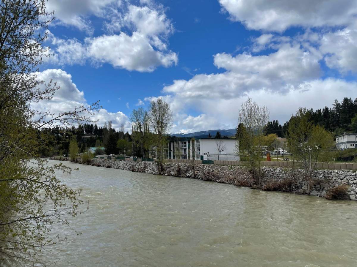
The River Forecast Centre put a high streamflow advisory into effect on Thursday in anticipation of rising temperatures and steady rain across the Southern Interior of British Columbia.

“Steady warming this week is leading to increasing snowmelt rates and river runoff. Daily maximum temperatures have been reaching the low to mid-20 C range and are expected to reach similar levels today,” reads the alert.
“While low and mid-elevation snowpack is now depleted, higher elevation areas (above 1,600 metres) have experienced a delayed melt this year, and significant snowpacks remain.”
A low-pressure system is expected to impact B.C.’s Interior on Friday, bringing unsettled weather and repeated periods of moderate to heavy rainfall across the region over the weekend and into next week.

“Current hydrologic modelling is indicating the potential for a period of high flows throughout the region into the weekend. These forecasts include high-end estimates that there is a risk that flood conditions emerge over the weekend,” the report reads.
“There is still uncertainty in this weekend’s forecast, in particular the locations and amounts of rainfall. Current forecasting is indicating areas around the Okanagan and Boundary are expected to see the highest rainfall amounts and river responses.”

The areas specified in the advisory are the Nicola River and tributaries including the Coldwater River, Spius Creek and surrounding tributaries; the Similkameen River including the Tulameen River and surrounding tributaries; the Okanagan including tributaries around Osoyoos, Penticton, Kelowna, Vernon and surrounding areas; Salmon River near Salmon Arm and the Boundary Region including the Kettle River, Granby River and surrounding tributaries.
The public is advised to stay clear of the fast-flowing rivers and potentially unstable riverbanks during the high-streamflow period.


Comments
Want to discuss? Please read our Commenting Policy first.