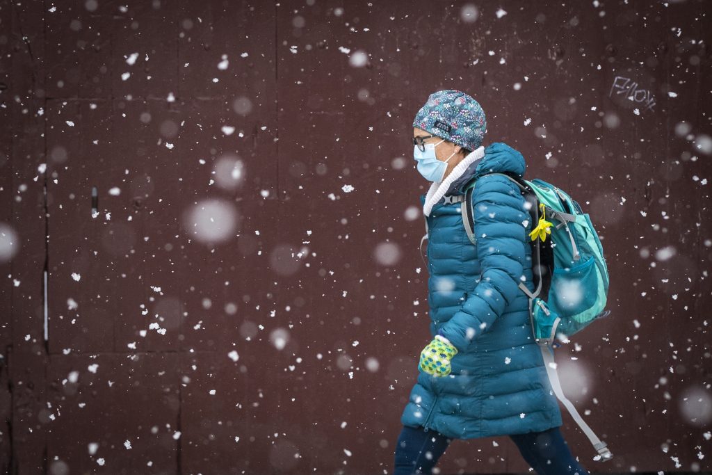
London-Middlesex residents are asked to brace themselves for what Environment Canada is calling the first significant lake effect flurries and snow squalls of the season.

In a watch issued early Monday, the national weather agency said intense snowfall rates of up to 5 cm per hour can be expected at times, with local accumulations expected to reach upwards of 10 cm to 15 cm late overnight through Tuesday.
“Brief periods of intense snowfall with very poor visibility will be possible,” Environment Canada said. “Snow squalls cause weather conditions to vary considerably; changes from clear skies to heavy snow within just a few kilometres are common.”
The weather agency also warned that residents may experience poor visibility at times in heavy and blowing snow.
“Surfaces such as highways, roads, walkways and parking lots may become difficult to navigate due to accumulating snow.”
While the snow squalls are expected to weaken by Tuesday night, Geoff Coulson, a warning preparedness meteorologist with Environment Canada, told Global News that it’s looking like a cold week ahead across the region.
“Through the first part of this week, a blast of cold wind moving over the relatively warm and open waters of Lake Huron is going to give a fairly significant lake-effect snow event to parts of southwestern and south-central Ontario,” he said. “The lake-effect snow has already started up in the Bruce Peninsula, and two areas east of Georgian Bay, and we are expecting, as we get into Tuesday, the possibility that some of the snow squall activity could move into the London area.”

Get breaking National news
Coulson also said that a bitter wind chill coming from the northwest blowing towards the southeast could also bring some winter-like activity into the London-Middlesex region.
However, looking towards the freezing weeks to come, he told Global News that December could see some milder temperatures than in years past.
“We also have an El Nino event that’s been occurring in the Pacific Ocean off the coast of South America,” Coulson explained. “El Ninos occur when those waters in the Pacific are warmer than normal, and that trend tends to have impacts across the globe in terms of weather patterns. What that usually means for southwestern Ontario is a milder than normal winter.
“But that certainly doesn’t mean we won’t still get a mix of messy winter weather rain, freezing rain, ice pellets, snow through the month of December,” he continued. “But overall, it looks like things could be a little bit milder than normal in the London region.”
As the bitter weather continues, Joel Gillard, the city’s division manager of road operations, said winter preparations have been underway for the past couple of months.
“It’s hard to predict what kind of winter we’re going to get,” he said. “Early reports are saying maybe a little warmer and a little less snow this season, but we never really bank on that. We’ve heard that lots of times before, and we’ve run into some pretty hefty winters.”
He added that the city currently has roughly 70 road plows, 48 sidewalk units and 28 salt units.
“We always like to prepare for the worst, and I can say we’re confidently prepared for that at this time of year.”
With regard to ongoing construction, road closures and detours, Gillard said that “a lot of planning is factored in across multiple departments.”
“We understand that construction season sometimes never ends, and there’s a necessity to get some of these projects done during the winter, but we like to minimize traffic impacts, especially when we’ve got plow season up and running,” he said.
In terms of winter preparedness, Gillard added that “it’s also important to help your neighbours.”
“Unfortunately, when we plow the roads, a lot of it ends up in people’s driveways, and we understand that can be challenging, but we’d like to promote to help your neighbour in that respect,” he said. “Especially if you’ve got older neighbours in your community, help them with their snow shovelling and making it a community team perspective in terms of helping each other when it comes to snow removal.”


Comments
Want to discuss? Please read our Commenting Policy first.