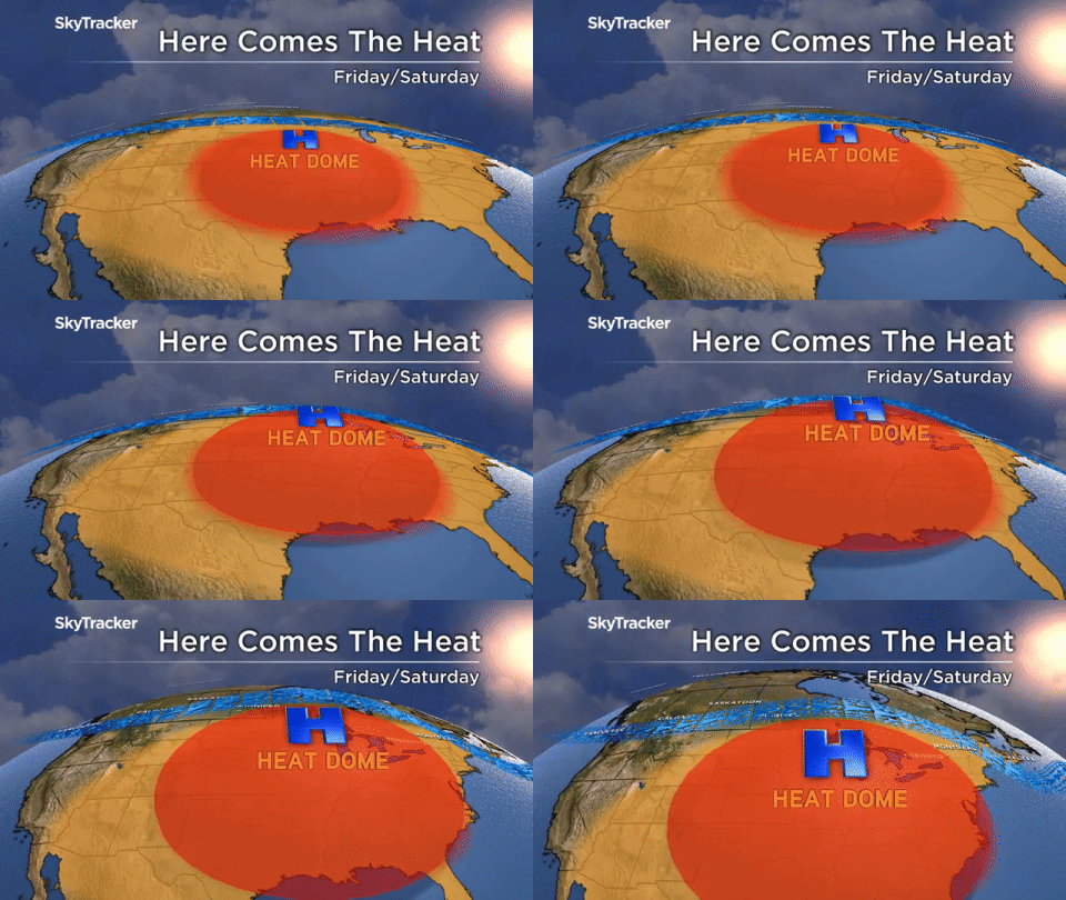
A so-called heat dome that is bringing scorching temperatures south of the border is making its way across the Great Lakes into Canada.

“Hot temperatures and high humidity levels are building across the central U.S. and this air mass will quickly expand north and east by Friday under a developing heat ridge or heat dome,” Global News Chief Meteorologist Anthony Farnell said.

On Thursday, heat warnings were already in effect for a large area of Southern Ontario and Quebec.
Temperatures are forecast to reach 34 C in Toronto and 30 C in Montreal on Friday — and will feel warmer when you factor in the humidity.

Get breaking National news
Farnell said the temperatures will feel “all the more tropical” because of a large amount of rain dumped around the Great Lakes, as well as the southern and central U.S.

What is a heat dome?
“A heat dome can form in the summer under particularly strong areas of high pressure,” explained Farnell.
“The high acts as a lid trapping the heat and humidity from escaping. As the hot air reaches the upper levels of the atmosphere it sinks back down to the surface of the earth which creates even hotter air.”
Farnell said this cycle can “go on for days and days creating even more extreme temperatures.”
In the U.S., forecasters warned that Chicago could see the mercury rise as high as 43 C on Friday and Saturday.
When will it let up?
A cold front slated for Sunday will force the heat dome back down south, Farnell said.
Showers are in the forecast for many areas, including Ottawa, Toronto, Montreal and Kingston.


Comments
Want to discuss? Please read our Commenting Policy first.