
Mostly cloudy skies with a few sunny breaks and a slight chance of showers or flurries lingers through the day on Thursday as temperatures warm up to around 6 C.

As another system approaches the coast, clouds linger into the day on Friday with a chance of precipitation along with another afternoon high around 6 C.

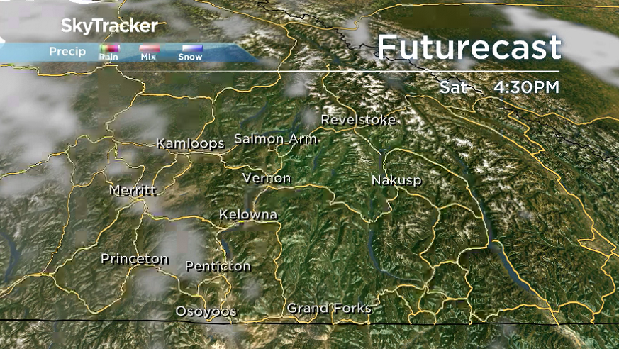
Brief reprieve from the moisture arrives on Saturday with partly cloudy skies returning to the region as daytime temperatures climb back to mid-single digits before the next front arrives with clouds on Sunday.
This next frontal boundary will come with an enhanced risk of rain and snow later in the day on Sunday as the mercury struggles to make it back into mid-single digits.


A more potent wave of precipitation is slated to slide in to start the final week of November with rain and snow possible at times and daytime highs staying in low-to-mid single digits.

For weather on the go download the Global News SkyTracker Weather App for iPhone, iPad or Android.
- Roll Up To Win? Tim Hortons says $55K boat win email was ‘human error’
- Bird flu risk to humans an ‘enormous concern,’ WHO says. Here’s what to know
- Halifax homeless encampment hits double capacity, officials mull next step
- Ontario premier calls cost of gas ‘absolutely disgusting,’ raises price-gouging concerns
Comments