
The second last week of November kicked off on a cloudy note with temperatures around the freezing mark before making it up into mid-single digits with rain moving in.

Showers continue Monday night with a break early Tuesday before more sprinkles move through late in the day as the region warms to high single digits or low double digits.

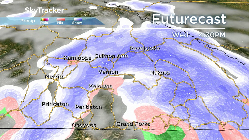
The risk of rain and snow ramps back up on Wednesday as pockets of mixed precipitation linger into Thursday, Friday, and Saturday as well.
The fall-type pattern brings with it daytime highs in mid-single digits and overnight lows around or just below freezing for the rest of the week and into the weekend.


For weather on the go download the Global News SkyTracker Weather App for iPhone, iPad or Android.
More on Canada
- Life in the forest: How Stanley Park’s longest resident survived a changing landscape
- ‘Love at first sight’: Snow leopard at Toronto Zoo pregnant for 1st time
- Buzz kill? Gen Z less interested in coffee than older Canadians, survey shows
- Carbon rebate labelling in bank deposits fuelling confusion, minister says
Comments