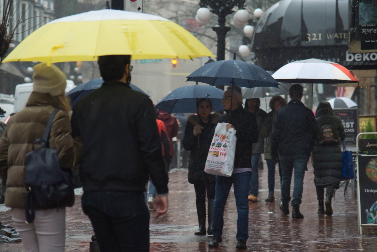
The transition from snow to rain is complete for much of southern B.C., and the wet weather is set to last for days.

But areas farther north in the province are due to get buried in snow, with amounts pushing 50 centimetres in some sections.
For Metro Vancouver, the rain that began to fall Saturday started accumulating in earnest Sunday. Environment Canada predicts up to 20 millimetres by Monday morning.

Another 20 millimetres could fall Monday, forecasters say, and the rain will stay in the forecast until at least next Saturday.
The rain comes as a relief for communities hit hard by snow throughout last week, causing traffic and transit chaos and a staggering number of ICBC claims.
Cities are warning that flooding could occur as the rain melts the snow away, asking residents and business owners to help crews clear catch basins while keeping their own drainage systems from clogging.
Despite the steady rain, temperatures are due to get warmer than seen in weeks past, climbing to 10 C by Thursday.
The warm, rainy trend will continue for other parts of the Lower Mainland, Fraser Valley and southern Vancouver Island, with only brief breaks in the downpour being predicted.
Western and northern Vancouver Island are under full rainfall warnings. Areas including Tofino and Port Hardy could see 50 to 70 millimetres by Sunday evening, while farther north up to 100 millimetres could fall.
Environment Canada warns low-lying areas could be at risk of flooding in those communities.

Along the Sea-to-Sky Corridor, the weather is having more difficulty shaking the snow from the forecast.
After seeing up to 20 centimetres of snow Saturday into Sunday morning, the area’s winter storm warning is now forecasting periods of freezing rain mixed with snow between Squamish and Whistler.
The conditions will be contained to areas north of Squamish, the warning says, including Whistler by late afternoon.
“Consider postponing non-essential travel until conditions improve,” Environment Canada says. “Surfaces such as highways, roads, walkways and parking lots will become icy, slippery and hazardous.”
Heavy snow further north
Meanwhile, winter storm warnings for inland sections of the north and central coast are predicting snow — and lots of it.
Northern communities like Kitimat and Terrace could see up to 50 centimetres by Monday morning, which could also freeze overnight as warmer air move in.
Central areas including Bella Coola, which have already seen 42 centimetres by 10 a.m. Saturday, could see another 10 centimetres mixed with ice pellets.
The weather on the central coast will “likely” shift to freezing rain and rain later Saturday.
A snowfall warning is also in place for the Pine Pass on Highway 97 in the northern Rocky Mountains, with 10 to 20 centimetres expected by Monday.
A full list of weather alerts for B.C. can be found on Environment Canada’s website.


Comments