
After temperatures climbed up to 8 degrees in Kelowna on January 1 to start 2020, cooler and wetter weather are about to slide in.

Environment Canada has issued a special weather statement for the Shuswap, North and Central Okanagan for a strong winter storm bringing snow Thursday night into Friday morning.
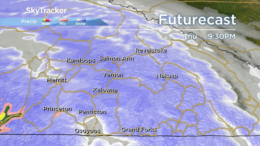
Snow starts sliding in Thursday night as freezing levels fall to the valley bottom with a push of warm air overnight potentially bringing in some showers by Friday morning in a few areas.
Generally, 5 to 10 centimetres of snow is expected in most areas before precipitation eases during the day and sunny breaks return with temperatures in mid-single digits by Friday afternoon.

A cold front slides through Friday night into early Saturday with a few more pockets of precipitation possible along it as daytime highs fall to just a few degrees above freezing for the weekend.

WATCH ABOVE: More than 10,000 BC Hydro Customers were still without power on Thursday afternoon across BC’s Southern Interior. It was the third day of widespread power outages in the region after a New Year’s Eve storm brought lots of heavy wet snow to the area.


There could be some lingering pockets of rain and snow both Saturday and Sunday, as an unstable westerly flow sets up over the region.
The first full week of 2020 is expected to be filled with mostly cloudy skies and possible precipitation at times as daytime highs hover just above freezing.

For weather on the go download the Global News SkyTracker Weather App for iPhone, iPad or Android.
- Roll Up To Win? Tim Hortons says $55K boat win email was ‘human error’
- Bird flu risk to humans an ‘enormous concern,’ WHO says. Here’s what to know
- Halifax homeless encampment hits double capacity, officials mull next step
- Ontario premier calls cost of gas ‘absolutely disgusting,’ raises price-gouging concerns
Comments