
After a wetter and warmer than normal September, with temperatures 2 degrees above average and 126 per cent of the normal precipitation falling, October has started on a cooler note.

Spotty sprinkles will slip through parts of the valley bottom on Thursday, with snow falling at higher elevation mountain highways, including the Okanagan Connector.

After reaching an afternoon high in the mid-teens with some afternoon sunny breaks on Thursday, another wave of clouds will swing through with a system on Friday.
There will be some sunny breaks at times during the day, with only a slight chance of showers, as afternoon temperatures are expected to make it into the mid-teens with freezing levels around 1,400 metres.
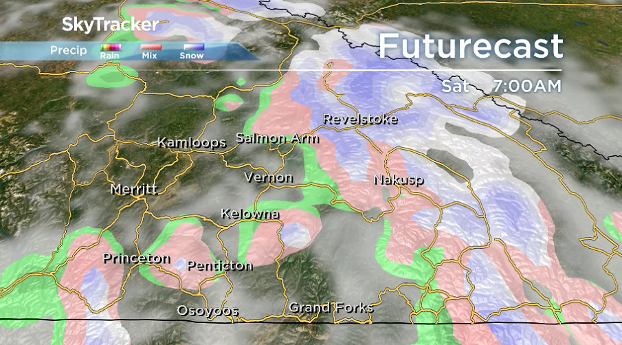
After a few sprinkles slide through Saturday morning, a mix of sun and cloud will return to start the first weekend of October on Saturday afternoon, as the valley bottom climbs into the mid-teens under a short-lived upper ridge.


The next wave of Pacific moisture will swing through on Sunday, bringing back clouds and a chance of showers by the end of the day as afternoon highs hold steady in the mid-teens.
Clouds and a chance of showers linger with mid-teen daytime highs into the second week of October, with not much sun expected until later in the week.

For weather on the go download the Global News SkyTracker Weather App for iPhone, iPad or Android.
- What is a halal mortgage? How interest-free home financing works in Canada
- Capital gains changes are ‘really fair,’ Freeland says, as doctors cry foul
- Ontario doctors offer solutions to help address shortage of family physicians
- Canada will take bigger economic hit than U.S. if Trump wins election: report
Comments