
UPDATE:

If the Coquihalla Highway is on your itinerary, DriveBC is urging motorists to travel with caution.
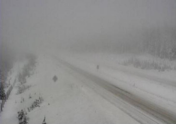
Following overnight snowfall on Tuesday, there is a warning to watch for compact snow and slippery sections south of the Great Bear Snowshed to Kamloops.

There is also a compact snow warning for the Okanagan Connector, from Kelowna to Pennask Summit to Merritt.

There is also a snowfall warning from Environment Canada for the Boundary region.
“A low pressure system offshore will continue to bring snow to the area,” said Environment Canada. “Paulson Summit and Kootenay Pass are expected to receive 5 to 10 cm of snow today and another 15 cm tonight. Snow will taper to scattered flurries early Friday morning.
“Be prepared to adjust your driving with changing road conditions. Rapidly accumulating snow could make travel difficult over some locations. Visibility may be suddenly reduced at times in heavy snow.
In northern B.C., an extreme cold warning has been issued for the Atlin area, including the Yukon border and northern Alaskan panhandle.
“Strong northerly winds with gusts up to 80 km/h combined with low temperatures near minus 30 will produce wind chill values near minus 45 today, tonight and Thursday,” Environment Canada said. “Wind chill values should rise Thursday afternoon to slightly above minus 40 as air temperatures rise to minus 20 degrees.
“Dress warmly. Dress in layers that you can remove if you get too warm. The outer layer should be wind resistant. Keep emergency supplies in your vehicle such as extra blankets and jumper cables.”
Further south, there are snowfall warnings for Howe Sound and Whistler.


For Howe Sound and Whistler, a strong Pacific frontal system has spread snow to the Sea to Sky region and “snowfall with total amounts of about 20 cm is expected.”
“In Squamish, snow has changed to rain early this morning. Snow at times heavy will continue today with another 10 to 15 cm expected by this evening over Whistler and the Sea to Sky Highway north of Squamish. Snow is forecast to change over to rain this evening along the Sea to Sky Highway and in Whistler tonight.”

ORIGINAL STORY:
Heavy snow is playing havoc on Highway 3.
DriveBC is reporting that the highway is closed, roughly halfway between Hope and Osoyoos, in both directions as the result of a vehicle incident between Garret Road and Saturday Creek — nine km west of Sunday Summit.
DriveBC says an assessment is in progress and the estimated time for re-opening is noon.
Alternate routes are Highway 5 or Highway 1.
There’s a snowfall warning in effect for Highway 3 from Paulson Summit to Kootenay Pass, where anywhere between 15 and 25 cm is expected.
Comments