

After a wild start to the work week with torrential rain slamming the city with flooding, calmer conditions move in for the rest of the Saskatoon Ex!

Storm Report
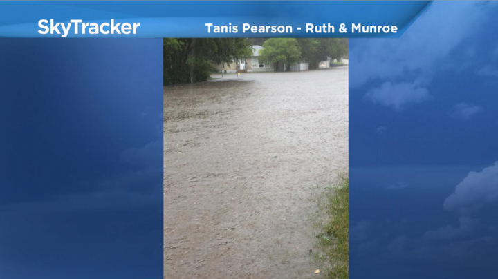
Up to 57 millimetres of rain was reported in parts of Saskatoon on Tuesday as heavy rain caused flash flooding across the city.
The culprit – slow moving thunderstorms on the north side of a low pressure system that tracked just south of the city.
READ MORE: Flash flooding in Saskatoon as storm hits city
Heavy rain drenched the Nutana district of Saskatoon with over 50 mm in a one-hour period at an unofficial station near Taylor Street and Preston Avenue.
That means that parts of Saskatoon saw more than a month’s worth of rain in less an hour!

There were numerous reports of flooded streets and basements.
Funnel clouds were also reported as the thunderstorms first developed.
READ MORE: Severe thunderstorms rip through Saskatoon bringing flash flooding
Up to 44 mm of rain was also reported at Last Mountain, 35 mm in Wynyard and 22 mm in North Battleford.
Saskatoon Forecast
Wednesday
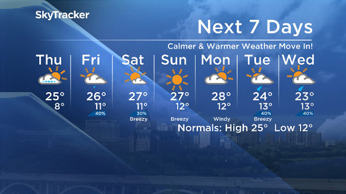
After a wild start to the work week, calmer conditions moved in on Wednesday.
Temperatures started out a bit cool, around 7 degrees, but quickly warmed up into the low 20s by late morning under mostly sunny skies.
Predominantly sunny skies stuck around for the rest of the day with an afternoon high in the mid 20s.
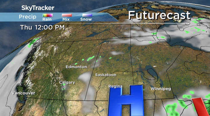
Thursday
High pressure moving out will keep skies clear to start the day Thursday, but we’ll see some cloud cover building in later on as we warm up to a high in the mid 20s.
UV index will be high, especially to start, so be sure to slap on some sunscreen if heading out to Canada 150 Day at the Saskatoon Ex.


Friday
A weak upper low swinging through Friday will bring in mostly cloudy skies with a chance of showers, particularly early in the day.
Despite the rain, we’re hoping to make it up to a high in the mid 20s once again by afternoon.

Weekend Outlook
A few clouds are likely to stick around on Saturday before we clear out and get back into sunshine for Sunday as a short-lived upper ridge pokes in with daytime highs around 27 degree both days.
Ryan Wunsch took this Your Saskatchewan photo west of Stoughton:

Saskatoon weather outlook is your source for Saskatoon’s most accurate forecast and is your one stop shop for all things weather for central and northern Saskatchewan with comprehensive, in-depth analysis that you can only find here.
Comments