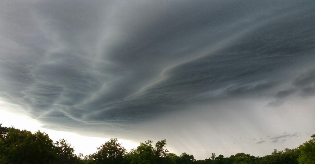
WINNIPEG — Friday’s temperatures are expected to be close to 30 Celsius in southern Manitoba with humidex values climbing into the high 30’s. These high temperatures and high humidex values could lead to severe weather in parts of the province.

Friday afternoon around 5 p.m. to 6 p.m., a cold front is expected to move across southern Manitoba. As this happens, with the temperatures and high humidity, there is the risk of severe weather.
According to Environment Canada, supercell development appears likely. These types of storm are very strong and have a longer lifespan. A broad area could be affected by these storms.
Friday morning has already seen some non severe thunderstorm activity in parts of southern Manitoba and the Interlake. Generally, areas in southern Manitoba see non severe thunderstorm activity Friday morning are less likely to see severe weather later in the afternoon. This does not apply for the Interlake areas as the “cap” in this region is significantly weaker. A storm can be “capped” by warmer air aloft which is the situation most of southern Manitoba is seeing Friday morning. This is not to say severe weather cannot be triggered, it is just more difficult.
If a supercell storm forms, there is the risk of tornado activity. There is also the risk of golf ball to baseball sized hail. Should thunderstorm activity continue into the evening, thunderstorms may develop along the cold front and if this happens, there is the risk of dealing with damaging winds up to 110 km/h.
As of 2 p.m. Friday afternoon, no severe thunderstorm watches had been put in place in Manitoba. Cloud cover, early thunderstorm activity and a strong cap suppressed the severe thunderstorm threat to a point.
Thursday afternoon, Friday’s storm threat could have been described as a “boom or bust” situation. If storms were to develop, they would be big but there was also a chance they would not develop at all. North Dakota is more likely to still see severe weather.


Comments