

WINNIPEG — Residents and farmers are likely looking to the skies for a bit of relief from Mother Nature.

It’s been a wet couple of days in parts of west central Manitoba – and overall in a number of areas in the province. Most notably those closer to the U.S. border.
The latest low pressure system that has delivered record amounts of rain to Saskatchewan is responsible for some of the rain here in Manitoba.
The good news is, the low will weaken as it continues it’s way into Manitoba.
Rainfall warnings were put in place Monday for Flin Flon – The Pas – Cranberry Portage – Snow Lake – Wanless – Westray – and Clearwater Lake Prov. Park. Those areas had in excess of 50 millimetres of rain overnight.
Residents there can expect to see some relief later on Tuesday as the rain will begin to move out of the area.
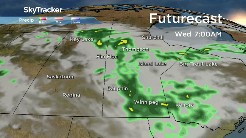
As far as Winnipeg is concerned we can expect showers to continue off and on Wednesday – with some sunshine returning to the forecast on Thursday.
Rainfall totals from 12 a.m. Monday July 11 to 8 a.m. Tuesday July 12 in Manitoba: (Environment Canada)
- Flin Flon 82.0 mm
- Emerson 52.1 mm
- Morris 45.9 mm
- Letellier 41.6 mm
- Winnipeg (SE) 30.0 mm
- Morden 28.5 mm
- Kleefeld 24.5 mm
- The Pas 23.0 mm
- Winnipeg (The Forks) 8.8 mm
- Winnipeg (Airport) 6.1 mm
Rainfall totals from 12 a.m. Monday July 11 to 8 a.m. Tuesday July 12 in Saskatchewan: (Environment Canada)
- Bjorkdale 97.5 mm
- Lloydminster 86.8 mm
- Craik 72.4 mm
- Davidson 69.1 mm
- Swift Current 65.3 mm
- Watrous 62.3 mm
- Rosetown 50.7 mm
- Wilkie 37.7 mm
- Saskatoon 23.6 mm
- Regina (Airport) 8.0 mm
Comments