WINNIPEG – The deer raised its head and froze, silent and still amid the tall grass on the river shoreline, as two canoeists drifted by. For almost a minute, the animal kept a wary eye on the humans and did not move a muscle until they passed downstream.

It’s a scene played out in wilderness areas across Canada — but this is roughly one kilometre from downtown Winnipeg, arguably the most paddle-friendly city in the country.
Four rivers cut through the Manitoba capital. There are countless access points, official and otherwise, that offer residents a quick journey from downtown office buildings or suburban homes to the lush green shorelines and wildlife-filled waterways.
“It’s great. You can go all of a sudden from a residential area to an escape,” said Charles Burchill, an enthusiast and instructor who, aided by his four canoes, has mapped out several dozen places in the city where people can drop in their canoe, kayak or paddle board.
The rivers offer a view of the city that is completely different from the bustling streets just a stone’s throw from the shoreline. In the river valleys, you take in green forests on the shore and hear the gurgling sound of the water. You’re likely to spot deer, eagles, pelicans, geese and other animals which follow the green belt shorelines from the countryside into the city centre.
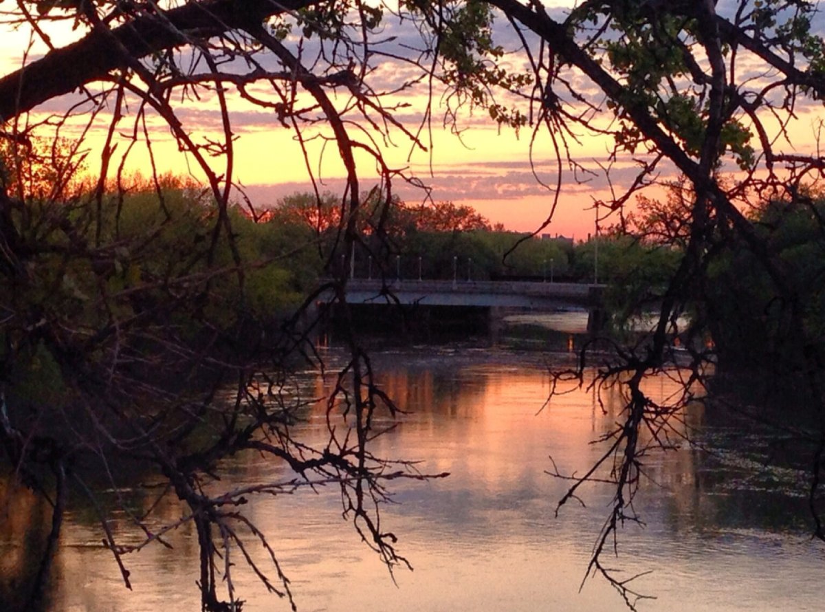
You’ll also pass under small footbridges from which people fish, and larger bridges that connect major roads.
Each river has its own personality and offers a different experience. The Red, which comes from the south, is akin to a wide aquatic autobahn – a strong current means fast speeds downstream and there are often motorboats rushing by. It’s a busy river used by, among others, a rowing club just south of downtown.
The Assiniboine, coming from the west, usually has the fastest current. In two hours, it can bring you from the wilderness at city limits past parks, residential backyards and the provincial legislature, right into the heart of downtown.
The Seine — much smaller, narrower and shallower — offers a quieter, meandering ride through a green belt before emptying into the Red. It’s the Sunday drive of rivers and can take eight hours or more to navigate. It’s where you’re most likely to be within close range of animals on the shore or in the water, and wave to people out for a stroll along forested pathways.
“It is a really pretty river … that is easy to paddle in both directions,” Burchill said. “You sometimes have to deal with beaver dams and the occasional downed tree.”
The fourth river — the Lasalle — lies almost entirely outside city limits and empties into the Red on Winnipeg’s southern edge. Its current can be quite strong, depending on the time of year, and it offers more wilderness than the other waterways.


And if all roads led to Rome, all rivers in Winnipeg lead to The Forks, the meeting of the Red and Assiniboine rivers that served as a gathering place for aboriginals long before Europeans arrived. The area is now a national historic site that bustles with people watching street performers or eating and drinking on restaurant patios.
Burchill has travelled by canoe to The Forks, carried it up a short series of steps and essentially parked it outside a patio for lunch. Few places in Canada offer such easy access from the water.
“That’s a great feature. It’s kind of fun to … leave the canoe outside and sit on a patio and then you can just put the canoe back in the river and go back.”
Local paddlers are hoping to enhance the city’s waterways by having more signage posted on riverbanks to highlight launch areas, some of which are just small public patches of grass between suburban homes. There’s also a push for signage along the waterways to highlight historical points of interest.
“We’re trying to organize something wider on the Red … where people can actually get a better idea of where they can launch and of some of the history on the river,” said Chris Randall, president of the non-profit advocacy group Paddle Manitoba.
For visitors to the city, there are a few shops that will rent canoes, all the associated gear and items such as trailers to let you drive your canoe to a launch point. Once in the river, you’ll see a greener, wilder side of the city that motorists and pedestrians do not.
“It really is kind of a jewel that we have,” Burchill said.
READ MORE: Charles Burchill’s map of access points to Winnipeg’s rivers


Comments