
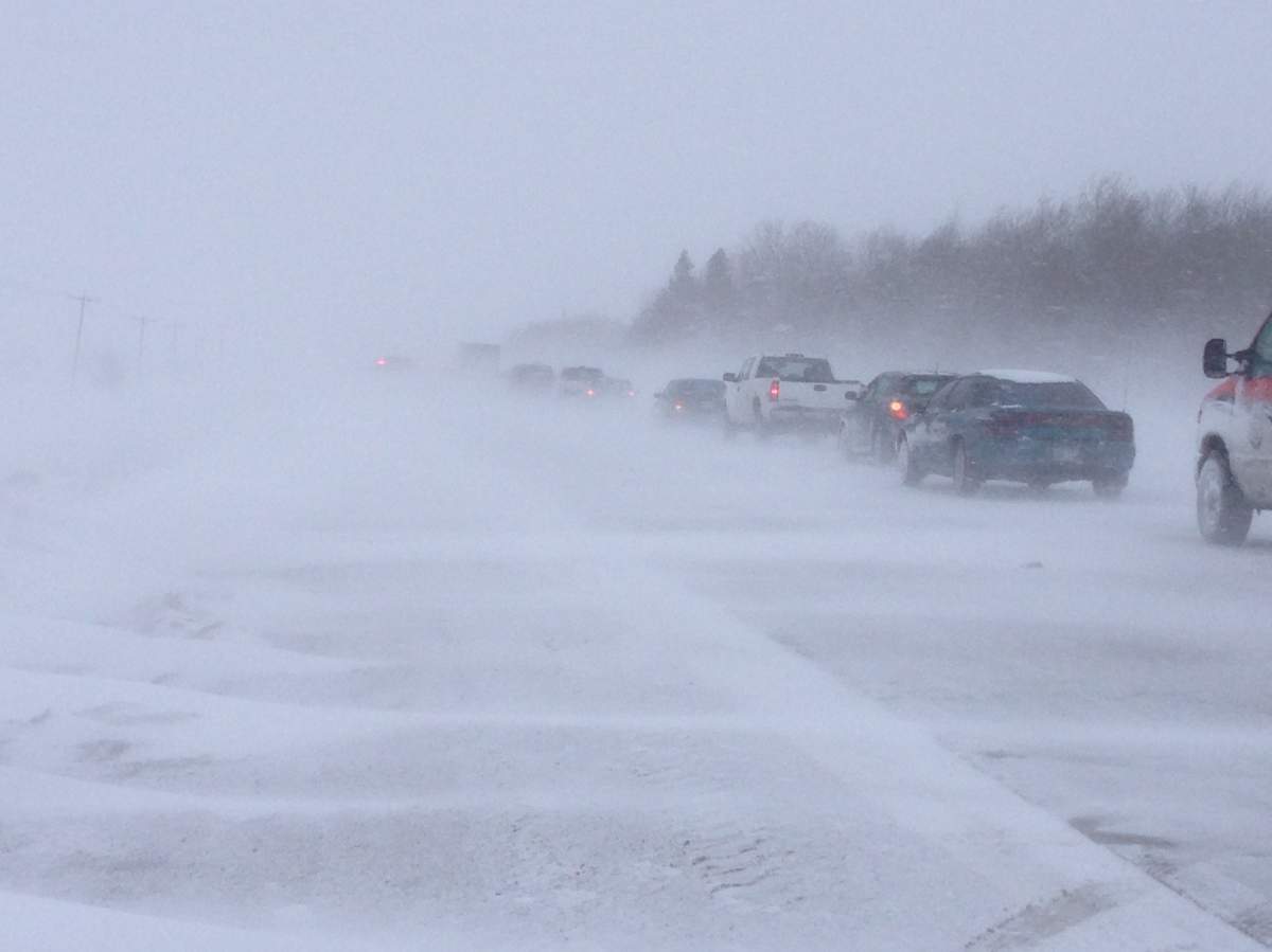
Forecasters say a winter weather system will deliver several centimetres of snow and high winds to southern Manitoba, that will result in drifting and poor visibility.

Manitoba RCMP sent out a release Tuesday saying emergency response times could be affected and advised drivers reduce speed and drive with caution as the system moves through.
Environment Canada issued a “special weather statement” Tuesday for south-central and southeastern Manitoba.

Get daily National news
It warns Winnipeg and surrounding areas can expect two to four centimetres of snow Tuesday night, another five to 10 cm Wednesday and similar amounts Wednesday night into Thursday morning.
“Gradually strengthening north winds on Wednesday and Wednesday night will result in considerable drifting as well as some blowing snow and reduced visibilities,” Environment Canada reported Tuesday.
- Global oil inventories headed to lowest level in decades, U.S. EIA warns
- Alberta pitches cheap natural gas for data center boom, at odds with Canada’s clean power aims
- Quebec municipalities and environmentalists say province’s water reserves are at risk
- Metro Vancouver enters Stage 3 water restrictions as snowpack melts a month early


As the storm is expected to last more than 24 hours, some areas could see a total of 10 to 20 cm of snow.
Wednesday will see high temperatures of -11 degrees and low of -12 degress; high of -14 and low of -16 on Thursday. It gets colder on Friday with a high and low temperature of -22 degrees.
Comments
Want to discuss? Please read our Commenting Policy first.