
UPDATE: Ottawa city council approved the plan to implement the eight new community zones on Nov. 27, 2019.

The City of Ottawa’s transportation committee gave its blessing to a plan for new “community safety zones” across the city that will allow the municipality to pilot photo radar near 12 schools.
The plan still needs approval from Ottawa city council, but several councillors sitting on the committee welcomed the project as they and city staff continue to work on ways to crack down on speeding on Ottawa roads.
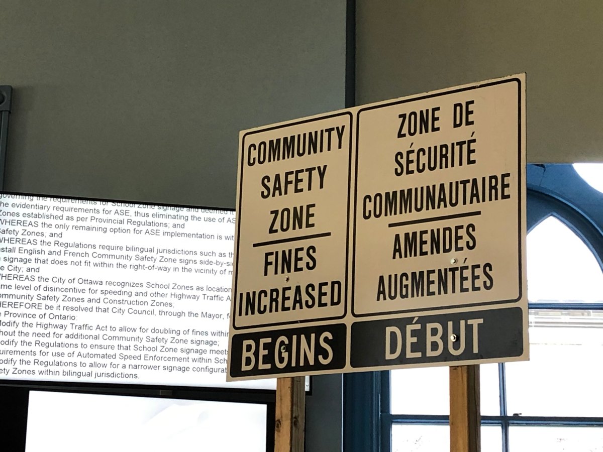
Provincial law allows the use of automated speed enforcement (ASE) — better known as photo radar – in designated community safety zones. Under the Highway Traffic Act, the fines for speeding and careless driving in one of these zones are doubled.
The eight roads that traffic management staff are proposing for the new community safety zones are:
- Watters Road (near St. Francis of Assisi School)
- Longfields Drive (near École élémentaire catholique Pierre-Elliott-Trudeau, St. Mother Teresa High School and Longfields-Davidson Heights Secondary School)
- Bayshore Drive (near St. Rose of Lima School)
- Meadowlands Drive West (near St. Gregory School)
- Ogilvie Road (near Gloucester High School)
- Smyth Road (near Vincent Massey Public School, Hillcrest High School and École secondaire catholique Franco-Cité)
- Innes Road (near École secondaire catholique Béatrice-Desloges)
- Katimavik Road (near Holy Trinity Catholic High School)
- What is a halal mortgage? How interest-free home financing works in Canada
- Capital gains changes are ‘really fair,’ Freeland says, as doctors cry foul
- Ontario doctors offer solutions to help address shortage of family physicians
- Canada will take bigger economic hit than U.S. if Trump wins election: report
City staff told councillors they reviewed data for roadways around Ottawa’s 376 schools before narrowing the list of sites that would be the best to pilot photo radar.
If approved by city council, the eight new community safety zones would be implemented by “no later than Nov. 30,” according to staff. However, the city can’t kick-start the photo radar pilot in those areas until the province has finished writing its ASE regulations, the transportation committee heard.
None of the eight proposed sites is in the city’s urban core, something Capital Coun. Shawn Menard raised with staff. The committee heard the legally required signs for the community safety zones are more than twice as wide as a standard speed-limit sign because they have to be bilingual. This means many urban areas can’t be considered for the zones because the large signs won’t fit safely on their roadways, staff said.

Menard suggested it would be “helpful” to include one urban site on the photo radar pilot list, citing Sunnyside Avenue in his ward as an example. Staff said they’re “potentially” looking to bring in a mobile photo radar camera next spring.
River Coun. Riley Brockington asked staff how strict enforcement would be in the zones, arguing residents will reject the program if they’re ticketed for only going a few kilometres above the speed limit.
There will be “some tolerance,” but city staff won’t share that buffer so as not to discourage compliance, said Krista Tanaka, program manager at the city’s road safety and traffic investigations branch.
Ottawa already has four community safety zones located at:
- Castlefrank Road between Hungerford Gate and McCurdy Drive North
- Bridge Street between Dickinson Street and North Riverside Drive
- Long Island Road between Waterpark Place and Cindy Hill Crescent
- Portobello Boulevard between Brian Coburn Boulevard and Innes Road
Councillor to search for cash for traffic calming on King Edward Avenue
In other traffic news, Rideau-Vanier Coun. Mathieu Fleury says he’s going to see whether it’s possible to find the cash needed to pay for permanent traffic-calming measures on King Edward Avenue, north of Rideau Street.
The six-lane arterial road serves as a major interprovincial link between Gatineau, Que., and Ottawa, particularly for a high volume of trucks that use King Edward Avenue to get between Highway 5 on the Quebec side and Highway 417 on the Ontario side.


A handful of Lowertown residents told councillors on Wednesday that speeding is a major issue on the avenue at all hours of the day, arguing that some drivers treat King Edward Avenue like “an extension of the highway.”
“This avenue feels like the Wild West of Ottawa sometimes,” resident Ana-Maria Tarres said.
The transportation committee received a study from city staff that outlined two traffic-calming options the city could pursue. The Lowertown Community Association favours narrowing the outside curb lanes from 4.5 metres to 3.5 metres, which would cost $4 million, according to city staff.
The other option is to widen the existing centre median, which staff say would cost $2 million.
But at the end of the day, staff couldn’t identify funding for the project within existing city programs. Only after that money is found and council chooses a direction to pursue would staff then proceed with design and consultation.
The few residents that addressed the committee described the proposed traffic-calming options as a good “first step” but argued for longer-term relief.
The municipality’s long-term plan for King Edward Avenue is to turn it into a four-lane road, but city hall won’t do that until a new interprovincial bridge is built and King Edward Avenue is removed from the city’s truck route network, according to a staff report presented to the transportation committee.

Comments