
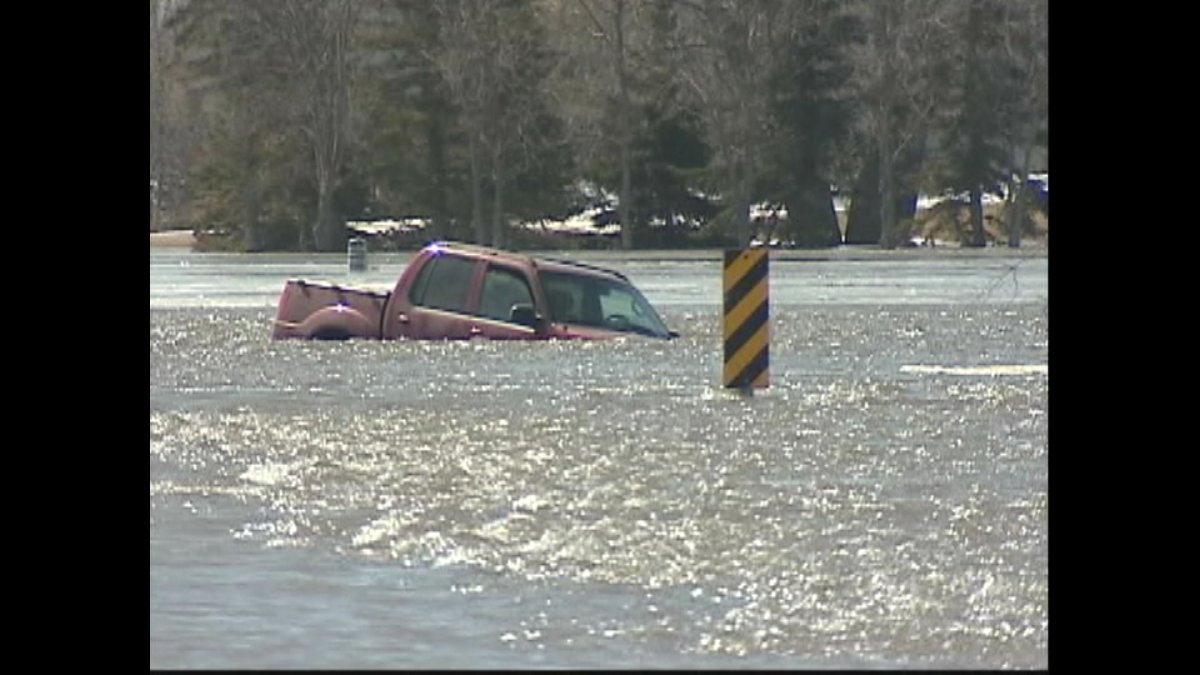
Water levels in the Red River Valley could exceed those of the 2009 flood and some residents could be evacuated in an updated flood forecast released Thursday by provincial officials.

“Clearly there will be evacuations,” said Steve Ashton, the minister responsible for emergency measures in a news conference at the Legislature.
The recent snowstorm upstream on the Red River in North Dakota has forced experts to up their prediction, which in a worst case scenario would see water levels a foot higher than 2009. Communities from Emerson to Winnipeg are protected by ring dikes, and homes outside the dikes have been raised to levels exceeding the record 1997 flood.
But as in 2009, officials expect this year that hundreds of people may have to relocate as a precaution, because the closures of ring dikes and road washouts will limit access for emergency services.
Highway 75 was closed at Morris for 36 days in 2009 and officials expect a similar situation this year.
Officials stressed again that what happens relies heavily on the weather. In May, southern Manitoba sees an average of 60 to 80 millimetres of precipitation. The current forecast takes that amount into account; more than that would cause further flooding problems depending on how localized or widespread it is, said forecaster Phillip Mutulu.
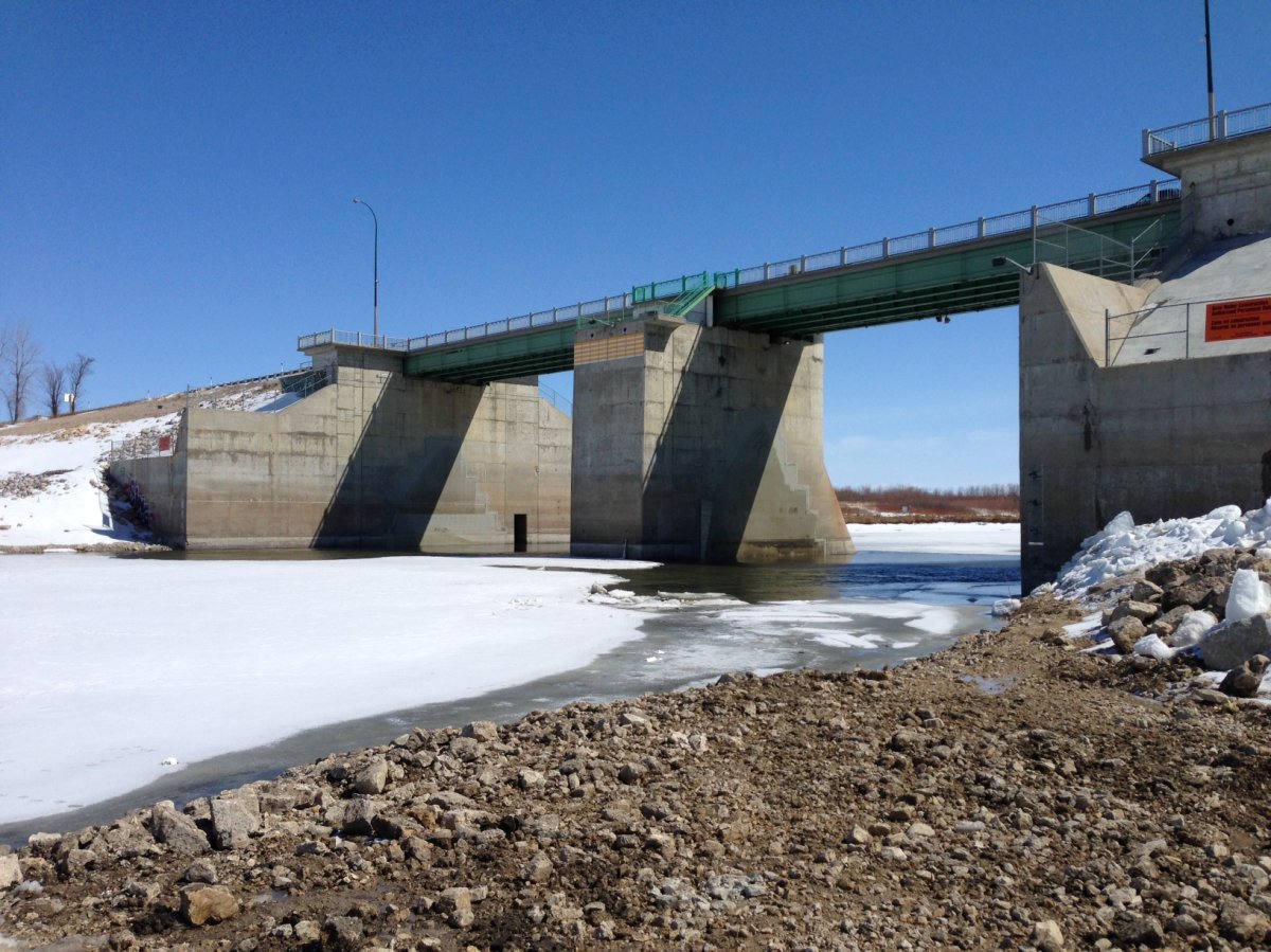
Winnipeg remains protected by the Red River floodway; levels on the Red are expected to as high as 21.5 feet downtown; that’s a foot lower than 2009.

But the continued cold weather is likely to delay the peak of the flooding to mid-May. The latest that the crest has reached Winnipeg was May 19, 1950. Also, the floodway can’t operate until ice is clear from the floodway inlet and control structure on Winnipeg’s southern edge.


There’s also the continued risk of ice jams, which cause river levels to suddenly spike. Ice breakup still hasn’t begun north of Winnipeg; the record for a delayed spring breakup is May 5, 1922.
Officials say the province’s ice cutters and ice breakers have already smashed 29 kilometres of ice on the Red north of Winnipeg.

On Wednesday US officials upped their expectations to include a 40% chance of record flooding in Fargo, ND and a 50% chance that the water levels in Grand Forks and Pembina, which is right on the border with Manitoba, will be second only to the disaster of 1997.
Officials say the flood forecast for other areas of the province hasn’t changed – it ranges from mild to major on the Assiniboine, Souris, Qu’Appelle and other waterways.
Comments