
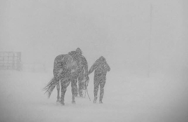
Manitobans will need to be prepared for a powerful winter storm headed for the province. It is expected to bring some freezing rain, heavy snow and very strong wind gusts.

The system is projected to move from Alberta, along the Yellowhead highway in Saskatchewan and into the Interlake region in Manitoba Tuesday morning.
The heaviest snow amounts in Manitoba will be closest to the centre of the low, around west central Manitoba near The Pas and into the Interlake. Snowfall warnings were issued Monday morning as 10-20 centimetres is likely in these regions.
Looking further south, snowfall amounts will be less however strong winds are forecasted with this low meaning blowing snow or blizzard conditions are possible.
Blizzard watches were issued Monday morning for Lake Winnipegosis, as well as the north and south basin of Lake Winnipeg, as 5-15 cm is forecasted for these areas Tuesday and winds could be gusting up to 80 km/h, limiting visibility.


For Winnipeg and the Red River Valley snow amounts will be less, around 5 cm. Visibility on the roads will be a significant issue with wind gusts also expected to be around 70 to 80 km/h during the day.
Blowing snow advisories have been issued for parts of Southern Manitoba Tuesday morning. Travel could be hazardous due to reduced visibility.
The system is expected to leave the province Tuesday night. In behind it, clearer and cooler conditions are expected.
Comments