
The London region wrapped up the week on a wetter note on Friday following three straight days of record-breaking warmth.

Environment Canada issued severe thunderstorm warnings for London and Middlesex just before 5 p.m. but lifted the advisories about an hour later.
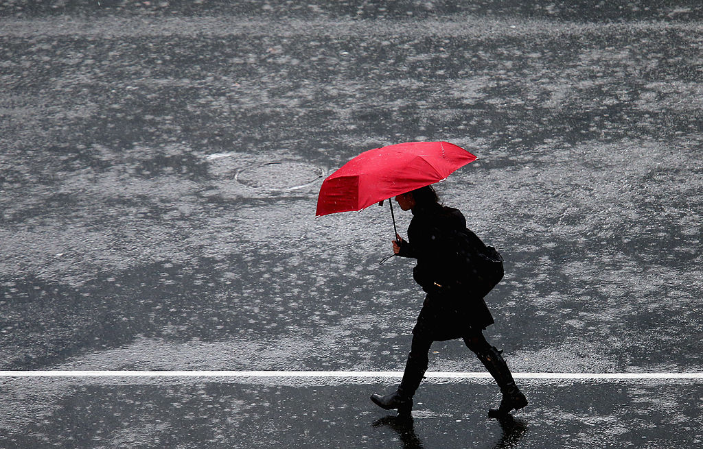
In some areas of the city, the sudden and lengthy downpour left drivers navigating flooded roadways, particularly on Highbury Avenue near Trafalgar Street, which created a risk of hydroplaning.
Umbrellas will likely stay out for the remainder of the evening as forecasters call for showers and a risk of thunderstorms heading into the overnight hours.
The stormy weather came just hours after London broke another high-temperature record for the third day in a row.
According to Environment Canada, a temperature of 11.5 C was recorded at London International Airport around 1 p.m., beating out the old record of 10.6 C set in 1961. The mercury would continue to rise through the afternoon to an eventual high of 17.1 C at 4 p.m.
London set high-temperature records on Saturday and Sunday, as well as on Wednesday and Thursday. Added up, London has seen six weather records broken in six days.


Thursday’s high of 18.3 C was not just the warmest temperature ever recorded on Feb. 23, it was the warmest temperature ever recorded in London in February.
The temperature will dip back into the single-digits this weekend with highs of 6 C on Saturday and zero on Sunday.
Things will warm up next week with highs of 3 C on Monday, and 7 C on Tuesday and Wednesday.
The normal high for this time of the year is zero.
- Budget 2024 failed to spark ‘political reboot’ for Liberals, polling suggests
- Train goes up in flames while rolling through London, Ont. Here’s what we know
- Peel police chief met Sri Lankan officer a court says ‘participated’ in torture
- Wrong remains sent to ‘exhausted’ Canadian family after death on Cuba vacation
Comments