
While some wet flurries may be in the forecast for B.C. South Coast this week, it might be too premature to get your winter gear out.

Global BC meteorologist Mark Madryga says a cooling trend is on the way by mid-week and onwards, as a northerly flow of air develops across British Columbia.
Madryga says temperatures by Thursday and Friday mornings in the Lower Mainland will slip to near or a little below freezing, while afternoon highs will struggle to only 4 or 5 C.
He says the latest weather charts are indicating a small amount of moisture in the South Coast on Friday, leading to the possibility of some wet snow at higher elevations.


However, the chance of a major snowfall is too early to predict with certainty at this point. Madryga says the coming weekend looks mostly dry and cool so far.
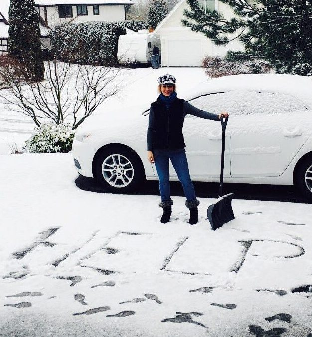
B.C.’s South Coast has been hit by a number of snowfalls since early December, with the latest snowfall blanketing the area in early February, dumping up to 80 cm of snow in some municipalities.
- Three B.C. men fined, banned from hunting after killing pregnant deer
- B.C. child-killer’s attempt to keep new identity secret draws widespread outrage
- Inquest hears B.C. hostage was lying on her captor before fatal shooting
- ‘We’ve had to make a 180’: What Oregonians say they got wrong with decriminalization
Comments