
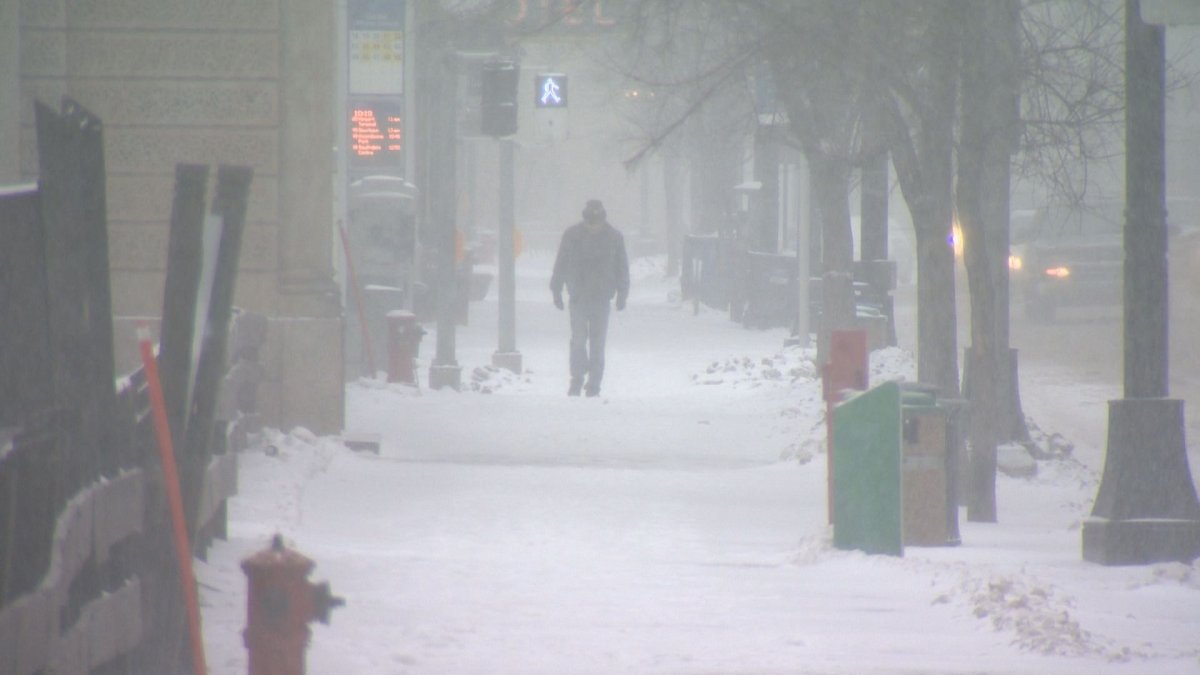
WINNIPEG — Enjoy the sight of green grass while you can, the unseasonably warm weather is expected to come to a screeching halt later this week.

In a long range forecast, Environment Canada says significant snow is on the way.
READ MORE: 2016 will be the hottest year on record
“Take your pick for where you’d like your end of week blizzard,” the bulletin issued Monday morning read. “All major models continue to develop potent Colorado low late this week.”
Depending on how the weather system takes shape, Environment Canada had said southern Manitoba could see between 10 to 50 centimetres of snow.
By midday Monday Environment Canada had modified the outlook and scaled back the threat of snow. The revised bulletin states the forecasting models continue to change.
“We’ll see if this trend continues on subsequent model runs before we have more confidence in a miss solution,” said the bulletin.


“I’m leaning towards a complete miss for Winnipeg and extreme southeast Manitoba getting hit with up to 15 centimetres but the ‘blizzard’ conditions will be confined to northwest Ontario,” Global’s Chief Meteorologist said Monday afternoon.
On top of the snow, the forecast also shows cooler temperatures on the way with Friday expected to be windy.
The updated forecast does say above normal temperatures will return next week.
- Life in the forest: How Stanley Park’s longest resident survived a changing landscape
- Bird flu risk to humans an ‘enormous concern,’ WHO says. Here’s what to know
- Roll Up To Win? Tim Hortons says $55K boat win email was ‘human error’
- Election interference worse than government admits, rights coalition says
Comments