
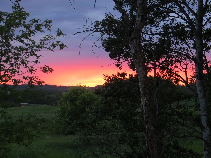
WINNIPEG — The book is closing on the summer of 2016.

Thursday September 22, 9:21 a.m. will be the official start of fall here in Manitoba.
As is typical for our province there were definitely some highs and lows.
Let’s start with the big stuff. Tornadoes.
Another active summer in Manitoba with a total of 14 tornadoes touching down in the province. The best stat to come out of that, there were zero fatalities associated with those storms.
But they did start early, the first tornado touching down even before the official start of summer on May 31.
READ MORE: A map of tornadoes in Manitoba
More than a few thunderstorms rolled through the province with hail and heavy rain causing issues for many parts of Manitoba.
On the evening of July 20, Winnipeg saw one of the worst storms of the summer move through the city.
The day was setting up for the perfect storm.
Record humidex values were recorded in many areas. At the Winnipeg airport the humidex reached 43, while in places like Deerwood and Portage la Prairie values hit 45 thanks to the hot and humid airmass.
In the city, wind gusts of 98 to 107 kilometres an hour caused damage to trees and part of a roof was ripped off at a building on Sinclair street.
- Trudeau tight-lipped on potential U.S. TikTok ban as key bill passes
- Canadian man dies during Texas Ironman event. His widow wants answers as to why
- Hundreds mourn 16-year-old Halifax homicide victim: ‘The youth are feeling it’
- On the ‘frontline’: Toronto-area residents hiring security firms to fight auto theft
WATCH MORE HERE: Patching up Winnipeg in aftermath of storm
Winds caused more damage to areas outside the city during that storm that day.
Portage Southport recorded gusts of at least 122 km/h with buildings sustaining damage.
Portage la Prairie also recorded an astonishing 36.1 millimetres of rain between the 6 p.m. and 7 p.m. hour and suffered localized flooding.
If we look at rainfall amounts through the summer, here in Winnipeg two of the three months of meteorological summer were above average for precipitation.
Here’s a look at the numbers:
- JUNE: 103.4 mm (Average is 90.0 mm)
- JULY: 82.7 mm (Average is 79.5 mm)
- AUGUST: 45.4 mm (Average is 77.0 mm)

Some areas of the province were hit hard by rain off and on through the summer. From June 1 through July 12, some regions recorded over 300 mm.
In the month of August alone Flin Flon recorded the most rain in the country with 322.6 mm recorded.
But this past summer was not all rain and storms!


We did enjoy some above seasonal temperatures from time to time.
Winnipeg hit 30 degrees Celsius or hotter 10 times in those three months. (In that number I’ve included temperatures up that reached 29.5 C and up).
Compare that to the city of Edmonton who did not hit 30 C once in the summer of 2016.
Here’s a look at our hottest temperatures of the month:
- June 10: 30.3 C
- July 20: 31.7 C
- August 22: 31.2 C
August had the most days where we were 30 C or warmer – six days. There were three in July and just one day in June where we achieved 30 C or better.
Our maximum daytime highs were pretty much on the mark as well for those months:
- June 2016: 23.0 C (Normal is 23.2 C)
- July 2016: 25.1 C (Normal is 25.9 C)
- August 2016: 25.7 (Normal is 25.4 C)

If you haven’t’ taken a look at the fall forecast for this year, signs are pointing to a pleasant one for Manitoba.
WATCH FALL FORECAST HERE: Anthony Farnell’s Fall Forecast
Let’s hope it’s much like the fall of 2015 which finished fourth warmest since 1872!
Comments