
WINNIPEG — It was a cool start to the week with light rain early this morning in Winnipeg, and if you’re longing for that sunshine don’t worry it is on it’s way.

Not only will we see more of the sun beginning Tuesday, but the heat and humidity will also return and be in full force as we begin another weekend.
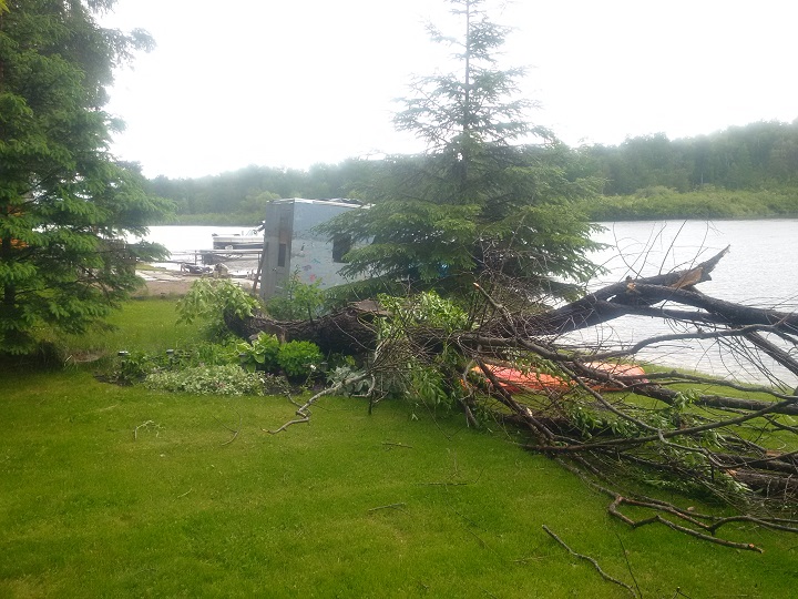
READ MORE: Warmer, dryer summer, and more ‘extreme’ events: Meteorologist on local weather trends
A southerly flow will begin to move into the province once again by Wednesday when we’ll finally see temperatures in the mid to high twenties.
The return of the heat means we could also see our first real storm of the season here in Winnipeg.
The risk of storm activity will likely affect most areas in the southern half of Manitoba, the severity still remains to be seen.
All that heat currently is situated in parts of Alberta with heat warnings in place for much of the south including the city of Calgary.
RELATED: Anthony Farnell’s summer forecast: What’s in store for Canadians


Daytime highs there are exceeding 32 degrees Celsius and will persist into Thursday.
Environment Canada has a forecast high of 27 C in Winnipeg by Friday with warmer weather possible on the weekend.

Comments