
HALIFAX – Environment Canada has upgraded its winter storm warning for Halifax and other parts of Nova Scotia.

Originally snowfall was expected to total 20 cm, however the national weather forecaster now says that could go as high as 35 cm.
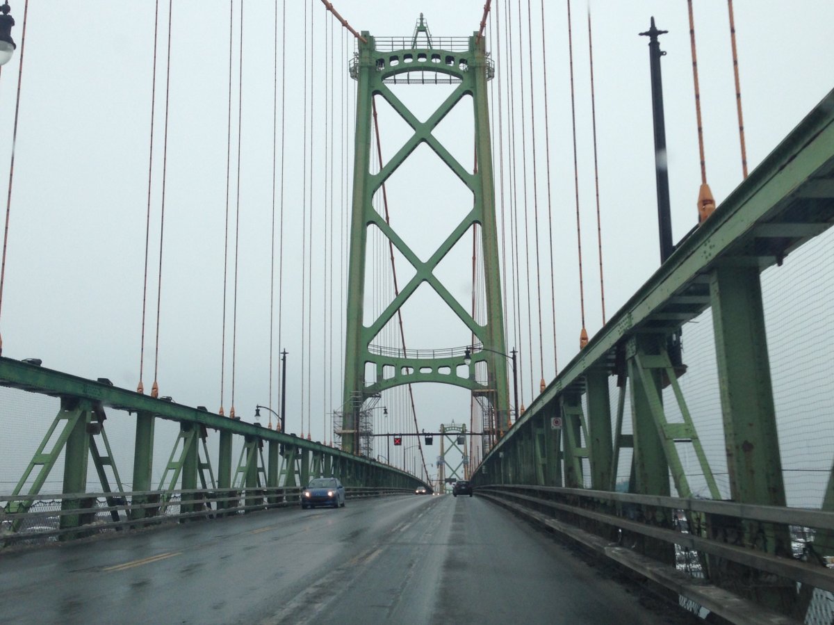
In Halifax, crews are salting and brining the roads in preparation for the mix of freezing rain and snow.
“Our fleet is fully operational,” Halifax spokesperson Jennifer Stairs said.
The provincial transportation department says its crews are doing the same on highways across Nova Scotia.
“We have 400 pieces of equipment at our disposal and crews have been out since early this morning laying liquid brine and salting,” spokesperson Brian Taylor said.
Freezing rain is expected in Halifax throughout the morning and into the afternoon. Environment Canada says snow will start to develop in the afternoon and will be heavy at times.
The national weather forecaster says strong winds may also cause blowing snow and non-essential travel should be postponed.


“Rapidly accumulating snow could make travel difficult over some locations. Surfaces such as highways, roads, walkways and parking lots may become icy and slippery,” the statement read.
If you need to travel, you can track road conditions on the department of transportation’s website.
Halifax Stanfield International Airport is warning that flights could be delayed later Saturday and advised travellers to check in with airlines.
Up to 25 centimetres of snow fell on parts of the region earlier this week, creating power outages, school closures and poor driving conditions.
–With files from The Canadian Press
- Canadian man dies during Texas Ironman event. His widow wants answers as to why
- On the ‘frontline’: Toronto-area residents hiring security firms to fight auto theft
- Honda’s $15B Ontario EV plant marks ‘historic day,’ Trudeau says
- Canadians more likely to eat food past best-before date. What are the risks?
Comments