
ROGERS PASS, B.C. – It’s called avalanche alley for a reason.

A 40-kilometre stretch along the Trans-Canada Highway in the Rogers Pass has the dubious distinction of having the highest avalanche hazard index of any route in Canada.
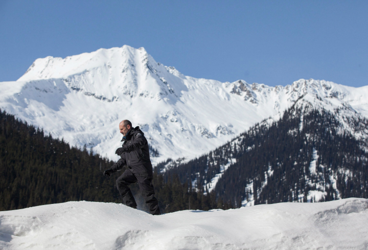
Jeff Goodrich, the senior avalanche officer for Parks Canada, says there are 134 avalanche paths that can hit the road at any time. He said the eastern part of Glacier National Park, which is populated with heavily reinforced snow sheds to protect motorists, is easily the worst.
“There are just so many avalanche paths concentrated in that one area that you could call it an avalanche alley,” said Goodrich in an interview with The Canadian Press.
He said the paths they monitor experience about 2,000 avalanche events in a year.
Goodrich said the topography of the area makes it a very dangerous place to be during avalanche season, which can run from November to April.
“We have steep narrow valleys so the avalanches have nowhere else to run out,” he said. “The concentration of the paths are close together or adjacent.”
As a result of the constant threat, Parks Canada spends much of the year using science as a key factor in keeping an eye on the avalanche hazard.
There are two snow plots in the park — one at the valley level and the second at 1,900 metres up by the treeline at Mount Fidelity.
The plots resemble a small field, with walking paths carefully cut so the actual snow is not disturbed. The areas are flat, which make them a safe and consistent spot for readings.


Avalanche technician Danielle Magnan is part of a team that measures the snow conditions at both snow plots twice a day.
“In here we’re often looking for big changes. So if we’ve gotten a bunch of snow, how heavy is that snow?” she said.
“We’re looking at changes in temperatures. When we’ve gotten a bunch of snow we’re testing it to see if there are instabilities.”
Goodrich said the data from the two plots can be extrapolated out to predict avalanche conditions in a number of the avalanche paths in the area. The information is fed into a computer to work out the avalanche hazard.
“We combine that with our previous analysis to see if the trend is to a more hazardous situation or an improving situation,” he said.
“That goes into our decisions on whether we need to do avalanche control or not and to our daily bulletin for back country ski tours.”
Goodrich said the plot at the valley level generally records about 9.5 metres of snow a year while the Mount Fidelity plot is even higher at more than 14 metres.
He said wind, sun and changes in temperature are key factors in causing avalanches to happen.
- Caught on video: B.C. firefighter survives hit-and-run outside his own home
- Surrey crime prevention group stunned as city cuts funding
- Woman acquitted in heated confrontation outside North Vancouver sushi restaurant
- B.C. electric vehicle sales continue to rise as survey finds softening Canadian interest
Comments