
TORONTO – Snow. Yes, that word has already made its way into the forecast for Albertans.

Meanwhile, the word of the week in Ontario is “humidex.”
That’s Canada for you.
The two provinces are experiencing extreme differences of weather all thanks to a wandering jet stream.
That hot and humid air is making it feel more like the middle of summer than the first week of September in Ontario – which, ironically, had a cooler-than-normal July.
Coulson said that on Friday some parts of Ontario, including Toronto, may see a heat warning as temperatures climb to 30 C with humidex values around 40 C.
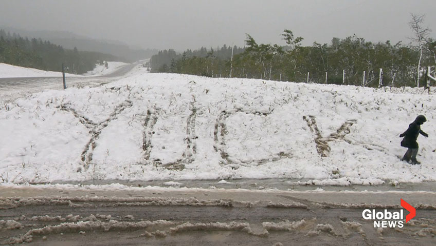
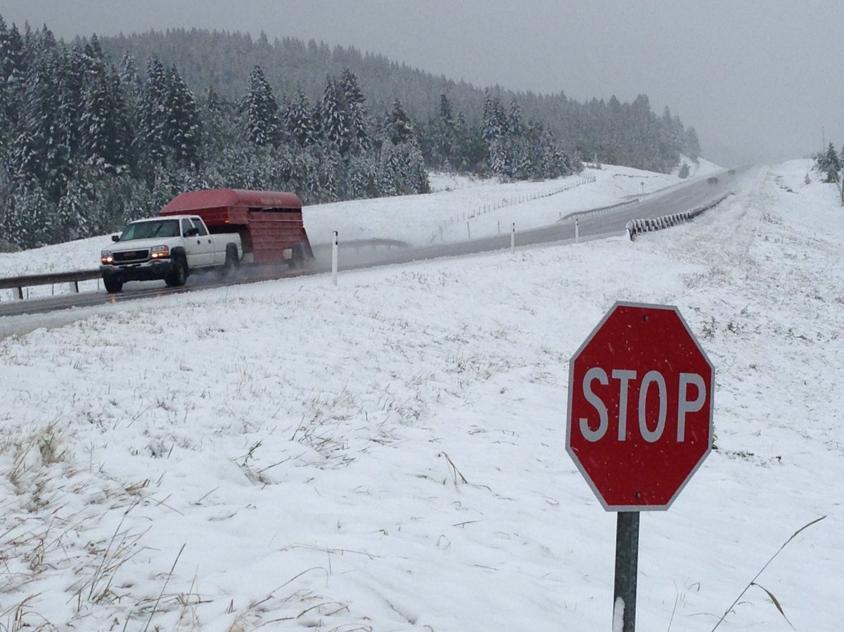
Meanwhile in Alberta, colder air aloft is making precipitation fall as snow rather than rain.
That means in higher elevations such as Sunshine Village and the Fernie Alpine Resort, ski season seems like it’s not that far away as trace amounts of snow fell in the area.

According to On the Snow, the first snowfall of the 2013 season in Sunshine Village occurred on Nov. 30 with a dusting of 2 cm. In 2012, it was Oct. 30 with 5 cm.
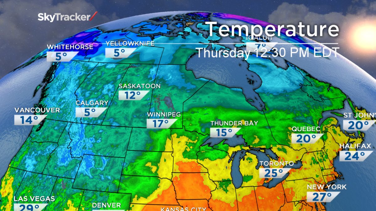
Banff normally sees a high of 18 C this time of year, with a low of 3. Thursday’s high is expected to be 16 C with a low of 0 C.
The good news is that temperatures are expected to climb back up to the 20s in the region this weekend – at least until early next week when temperatures fall again. The expected high for Tuesday is a mere 8 C.
Even northern British Columbia is feeling the chill: In Fort Nelson, there’s the possibility of some mixed rain and snow on Monday with a high of 6 C. The normal daytime high at this time of year is 17 C.
But the rest of the country will get cooler weather soon enough. Coulson said the cold air is slowly making its way eastward. By the middle of next week, parts of southern Saskatchewan and Manitoba will see far cooler than normal temperatures with highs just climbing above the double digits.
And while Ontarians feeling cheated on hot summer weather may enjoy the week’s hot temperatures, this unsettled weather may bring severe storms on Friday.
READ MORE: Polar vortex in summer? Not quite
Storms are expected to develop in the late afternoon and early evening, Coulson said.
“We could be in for some pretty strong storm.”
After that temperatures will drop by more than 10 C, with an expected high on Saturday of 20 C.
So a word to Ontarians: Enjoy it while you can. And for Albertans, maybe it’s time to think about getting those winter tires.
To get real-time weather for your area, download the Global News Skytracker weather app.
Comments