
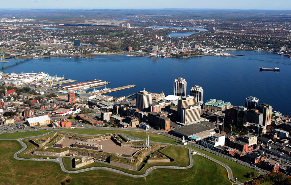
HALIFAX – Have you ever wondered just how much Halifax and its surrounding areas have changed in the last three decades? Thanks to Google’s massive archive of Earth imagery, you can take a virtual trip back in time to watch the landscape transform.

The time-lapse feature of the Google Earth Engine lets users view Landsat satellite images of locales all across the planet — one for each year between 1984 and 2012.
Users clicking through the images can see the Halifax Regional Municipality expanding outward as its suburbs grow substantially through the 1990s and early 2000s.
Here are a few of the interesting changes that can be seen taking place on the map:
- Business parks in Bayers Lake and Dartmouth Crossing appearing suddenly on previously forested terrain
- More trees across the city give way to new neighbourhoods and roads in Clayton Park-West, Rockingham and along the Bedford Highway
- The damage caused by Hurricane Juan in 2003, when many trees in areas such as Point Pleasant Park and McNabs Island were destroyed
- Damage from a forest fire in the Spryfield area between 2009 and 2010
Google also recently rolled out a feature that allowed users of its Maps product to view street-level imagery from the past, although its catalog of those images only dates back less than a decade.


View the annual time-lapse satellite images below:
Comments