
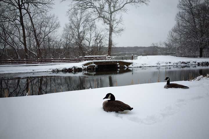
TORONTO – It’s almost May, but believe it or not, there are people in Canada who are still dealing with snow. A lot of it.

Below-average temperatures across most of Canada are turning precipitation events into snow rather than rain.
In Northern Ontario, Thunder Bay received 18 cm of snow Thursday into Friday afternoon. A meteorologist west of Thunder Bay recorded 30 cm. Fort Frances and Atikokan received another 5 to 10 cm as of 11 a.m. However, more snow is in the forecast.
READ MORE: Calgary weather–Wet snow on the way

Believe it or not, that’s not a record. The record snowfall for the month of April in Thunder Bay is 79 cm which fell in 1950.
Quebec and Atlantic Canada had to deal with their own bit of winter-like weather. In Quebec, between 10 cm of snow fell in Gaspé, with another 24 cm in Wabush Lake.
Fortunately for Nova Scotia and Prince Edward Island, temperatures hovered near the freezing mark and they were able to stave off most of the snow, receiving only a few centimetres.
READ MORE: Winter wasn’t as cold as you think — seriously


That wasn’t the case for New Brunswick, however. Though close to 50 mm of rain fell across the province, some areas also received about 10 cm of snow.
So that should be the end of the white stuff, right?
Wrong.
In Alberta, Environment Canada issued a special weather statement for Calgary, Lethbridge, Okotoks, Strathmore, and Airdrie, calling for a possible 15 cm of snow on Saturday, though amounts are likely to be between 5 and 10 cm. Initially, the precipitation will start off as rain as temperatures remain above 0 C, but with the mercury hovering at the 0 C mark, it is likely to change to snow.
Dan Kulak, warning prepardness meteorologist with Environment Canada in Alberta, told Global News, “It’s all part of one system that’s going to be developing in the next 24ish hours. It’s going to push some precipitation into the southern part of the prairies, snowfall in southern Alberta, mostly up against the mountains starting tonight and perhaps lasting through much of the day Saturday.” Most of the snow will likely fall near the foothills.
Meanwhile, there are snowfall warnings in place for Banff National Park and Jasper.
Temperatures into next week will remain below normal for most of the country — not including Whitehorse and Yellowknife where temperatures will climb to above normal values. Let’s just hope the snow doesn’t return.
- Train goes up in flames while rolling through London, Ont. Here’s what we know
- Budget 2024 failed to spark ‘political reboot’ for Liberals, polling suggests
- Wrong remains sent to ‘exhausted’ Canadian family after death on Cuba vacation
- Peel police chief met Sri Lankan officer a court says ‘participated’ in torture
Comments